

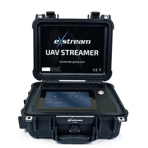


Full Description
Drone Software
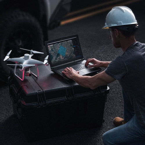
Flight Planning, Photogrammetry & Project Management
Drone Software
A range of mission planning and aerial mapping software from industry leading companies.
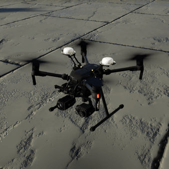
DJI are the leading drone manufacturer worldwide, and they have developer a range of applications to help users get the most out of their DJI drones.
Enterprise and commercial drone programmes require increased amounts of data and logging to operate effectively, and many software companies are developing solutions to solve these issues as drone use and adoption continues to rise.
heliguy™ supply, support and advise on all these software platforms. We don't just give you access - we also advise on how to get maximum value from these integrated software packages.
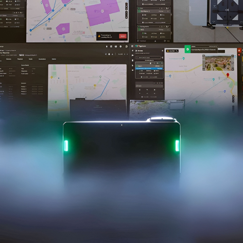
Drone Fleet Management & Mission Planning
Manage your entire drone fleet, plan missions and review flight logs from a single point
DJI FlightHub
Manage your entire drone fleet using DJI FlightHub.
If you're operating multiple drones and pilots, while juggling multiple operations, DJI FlightHub will give you a a live, complete picture of your entire drone program.
Some of the key features of FlightHub include:
- Real-time communication with pilots during live operations.
- Easy flight log recording and management.
- Manage equipment, pilots and individual flights across your whole organization.
- Simple to use mission planning tools to increase efficiency.
- Seamlessly transfer images and video from pilots to FlightHub to centralise data.
- Manage firmware versions and firmware updates on all DJI equipment from one central app.


SOARIZON by Thales
SOARIZON is the all-in-one digital drone planning platform that allows you to manage your drone operations in a fast, efficient and compliant manner.
You can sign up and start using SOARIZON for free, and upgrade to take advantage of extra features as your business grows.
- Unlimited missions
- Airspace intelligence
- 3D Airspace Visualisation
- Flight logging
- Equipment management
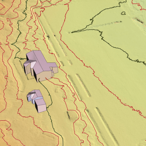
Photogrammetry & Drone Mapping Software
Aerial mapping software to assist with flight planning, 3D point modelling and accurate data collection
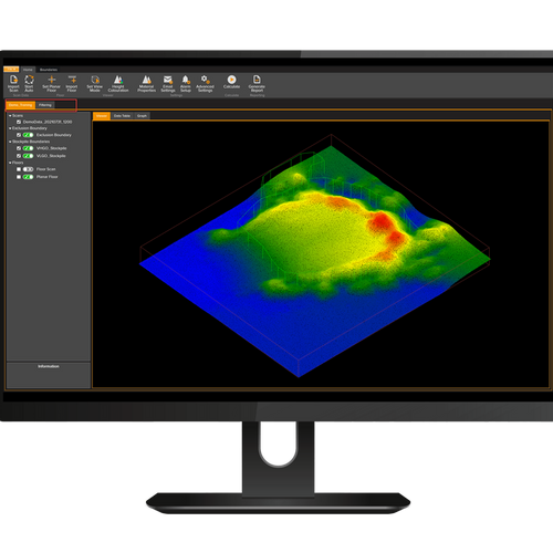
DJI Terra
Drone Mapping Software from DJI.
Terra is 3D modelling software from DJI that makes creating maps and models with your DJI drone a breeze.
Mapping and modelling with drones is effective in all kinds of industries, including public safety, construction, infrastructure and agriculture.
With DJI Terra you can plan missions, collect and centralise data, create 3D maps and analyse data all within a single platform.
Some of the key features of DJI Terra include:
- Plan your drone missions ahead of time in the app.
- Collect and centralise your drone data in a single software.
- Create 2D or 3D maps within Terra.
- Analyse the data your drone collects, measuring coordinates, distances, areas and volumes.


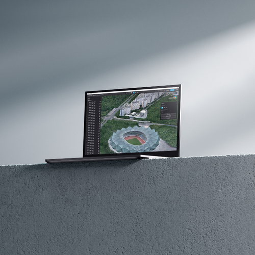
DroneDeploy
heliguy™ are a certified reseller for the industry-leading mapping and modelling software DroneDeploy.
The DroneDeploy app can be used to plan flights, capture data and create 2D maps and 3D models.
It also facilitates automatic flights from take-off, to automatically capturing images, to landing in the defined area.
- Simple to use interface.
- Affordable pricing model without sacrificing functionality.
- Rapid data-processing and accurate results.
- Compatible with a range of DJI Drones.
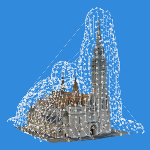
Pix4D Software Suite
Pix4D is a unique photogrammetry software suite for drone mapping, helping to create accurate 3D maps and models.
Pix4D is compatible with a range of drones, including a host of DJI aircraft. It is ideal for a range of industries, such as surveying, construction, agriculture, public safety and mining.
The cost of Pix4D varies depending on which option you go for and whether you want to pay monthly or annually. For more information, browse the individual software packages or talk to us about your requirements today.
The Pix4D software suite is comprised of the following products:
- Pix4Dmapper - Photogrammetry software for professional drone mapping
- Pix4Dcapture - Free mobile app to plan, fly and get optimised images for professional drone mapping
- Pix4Dsurvey - Create engineering-ready CAD files from point cloud data
- Pix4Dfields - Advanced agriculture mapping and crop inspection software
- Pix4Dreact- 2D fast-mapping for emergency response and public safety
- Pix4Dcloud & Pix4Dcatch - Cloud-based mapping solutions for the construction industry.
- Pix4Dmatic- Large scale orthomosaics and corridor mapping
- Pix4Dengine- Build the future of digitised reality with data-driven insights from images


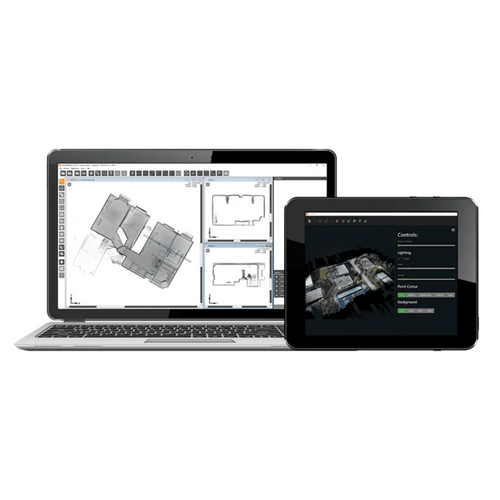
Agisoft Metashape
Process digital images and generate 3D spatial data in a standalone product.
Agisoft Metashape is a stand-alone software product that performs photogrammetric processing of digital images and generates 3D spatial data to be used in GIS applications, cultural heritage documentation, and visual effects production as well as for indirect measurements of objects of various scales.
Some of the features of Metashape include:
- Photogrammetric triangulation
- Dense point cloud generation
- 3D model generation and texturing
- Panorama stitching
- Georeferenced orthomosaic generation
- Digital elevation model: DSM/DTM generation
- Stereoscopic measurements
Construction Software
Aerial surveying, volumetric analysis, project management and more.
Procore Construction Management Software
The complete construction planning platform built by construction for construction.
Manage your projects, resources, and financials on one open, easy-to-use platform—designed for how you actually build.
If you’re in the construction business, then Procore was designed to help you.
- Owners gain visibility with all of their project information in one place
- Managers can review performance and efficiency of their teams
- Contractors can stay on schedule and on budget with complete project management in the palm of your hand

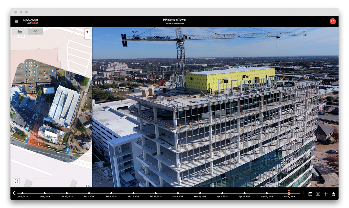
Hangar JobSight
JobSight provides on-demand, no-logistics access to visual insights across your projects
JobSight is a software platform designed to harness the potential of drones, automation and analytics to generate actionable insights and modernise workflows in the construction industry.
Hangar have automated the entire drone data supply chain, from request to delivery, unlocking previously unseen visual insights and perspectives that help you work more safely, efficiently and intelligently.
JobSight integrates seamlessly with the Procore Construction Management software.
Pix4D Construction Software
Cloud-based mapping solutions for the construction industry.


Pix4Dcloud
The online platform for drone mapping, progress tracking, and site documentation


DJI Software
DJI drone software, flight simulator and mission planning software.
DJI Flight Simulator
Enterprise-level drone flight simulator from DJI, allowing pilots to hone their skills in a safe environment.
DJI FlightHub
Mission planning software from DJI allowing users to manage their entire drone operation from a single point.
DJI Terra
DJI Terra is 3D modelling software that makes creating maps and models with your DJI drone a breeze.


