
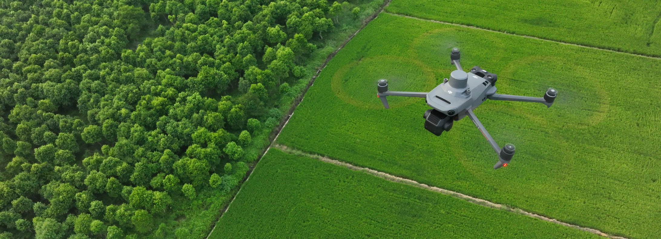
- Over recent years, drones in forestry have become increasingly popular as an alternative to the usual methods of forest monitoring, surveying and investigating tree health.
- Drones offer a more affordable alternative to lengthy on-foot surveys or costly helicopter rentals, with huge ROI gains.
- Top reported benefits include enhanced efficiency through quick and detailed land assessments, minimising the need for ground surveys.
Forest management has traditionally involved individuals going out on foot or in helicopters with cumbersome equipment to take photos and videos, which are time-consuming endeavours that can drain resources.
However, drones have revolutionised this process, successfully conducting aerial surveys and mapping, monitoring disease and pest detection, aiding in fire detection and management, facilitating environmental monitoring, and enabling precision forestry practices.
The Top Reported Benefits Of Using Drones In Forestry Are:
- More Efficient: Drones streamline data collection, offering rapid & detailed land assessments in under an hour, a cost-effective alternative to helicopters with potential returns after just a few uses.
- Higher quality data: Equipped with advanced cameras, drones excel at capturing close-up footage in remote areas with unmatched stability, efficiently surveying areas and providing detailed maps.
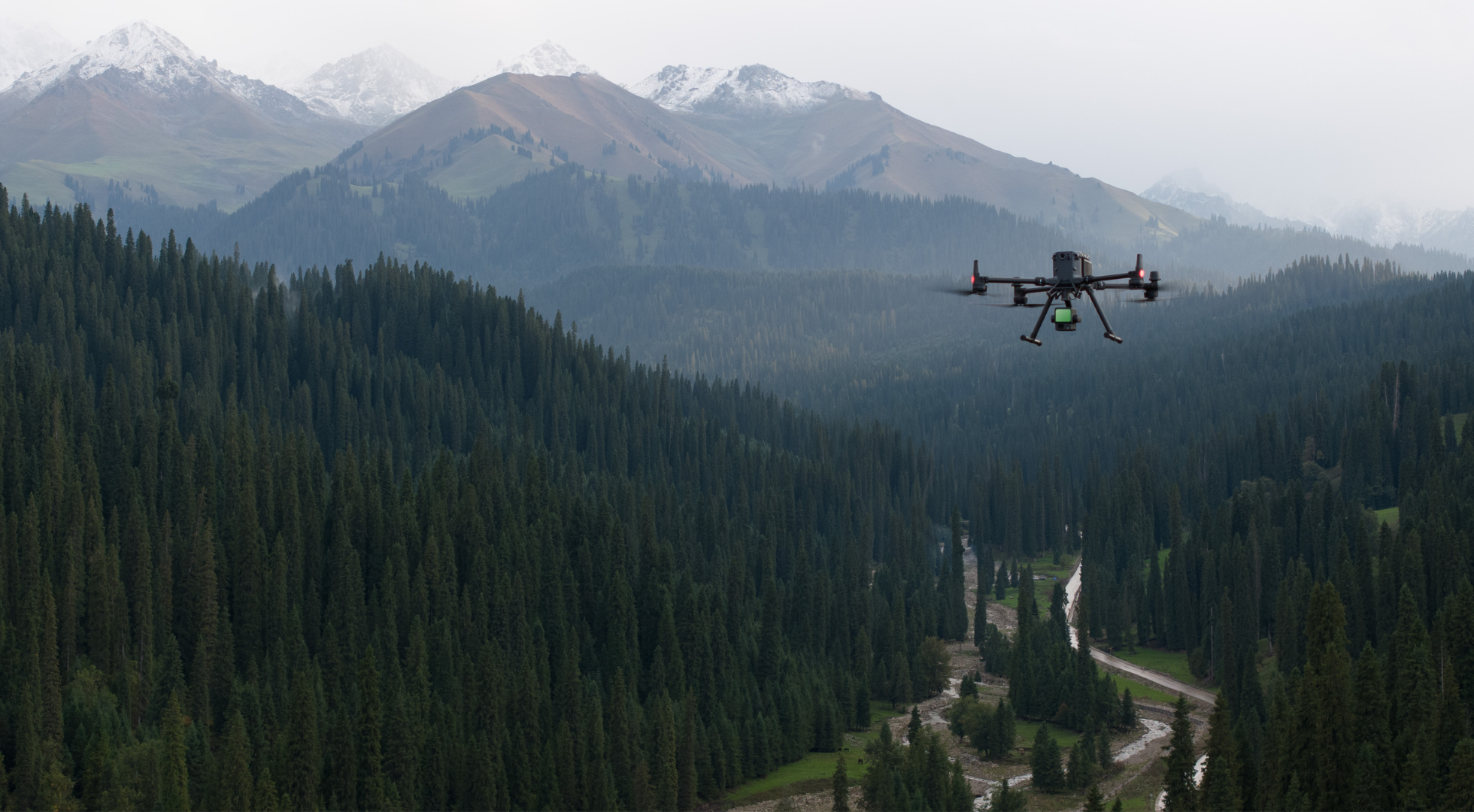
- Better Accessibility: Drones enable comprehensive coverage of forested landscapes, facilitating the monitoring and managing of challenging terrain in remote or difficult-to-reach areas, such as dense forests and high mountains.
- Reduced Environmental Impact: Drones minimise habitat disruption and soil disturbance with their small size and non-intrusiveness. Additionally, they offer an environmentally friendly approach to data collection without heavy machinery or extensive ground surveys.

Best Drone Data Capture Methods For Forestry
Drones enable versatile data collection when it comes to forestry management, utilising methods such as photogrammetry, LiDAR, multispectral, and thermal.
The best option often depends on the task at hand and the information you require.
Drone Surveying: LiDAR Vs Photogrammetry For Forestry
Photogrammetry and LiDAR are two prominent drone surveying techniques. But which one should you choose for forestry?
Photogrammetry entails capturing high-resolution photographs to recreate a survey area with geo-referenced 2D maps and 3D models. These models can provide you with a great resource for tracking forest health and monitoring changes over time.
However, Photogrammetry can be limited in areas of thick and overlaying foliage.
In comparison, LiDAR, the method of sending pulses of light to the earth's surface, has greater ability to penetrate dense areas of vegetation.
Find out more in our in-depth LiDAR vs Photogrammetry for drone surveying blog.
Why You Should Use LiDAR For Forestry
LiDAR sensors can capture highly accurate elevation data, even in dense forest canopies.
Compared to photogrammetry, LiDAR does a better job of penetrating through thick vegetation - as shown by this image.

The picture shows that the LiDAR (pink) captures a more robust picture of the ground surface under the vegetation canopy compared to photogrammetry (blue).
As such, LiDAR data can be used to generate precise digital terrain models (DTMs) and digital surface models (DSMs), allowing for detailed terrain analysis and volume calculations.
This is useful for:
- Precise mapping of terrain features such as slopes, ridges, valleys, and water bodies.
- Vegetation Structure Assessment provides detailed information on tree height, canopy density, and under-story vegetation. It is valuable for forest inventory, habitat assessment, ecological research, and assessing forest health, biodiversity, and carbon storage potential.
- Estimating biomass.
- Identifying tree species, estimating tree density and basal area, assessing stand dynamics, and monitoring changes in forest structure over time.

One downside of LiDAR compared to photogrammetry is its lack of capturing true-colour information. Colour on LiDAR maps is often based on factors such as height or intensity.
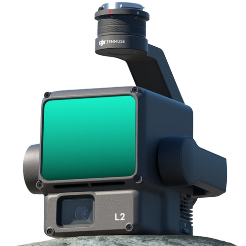
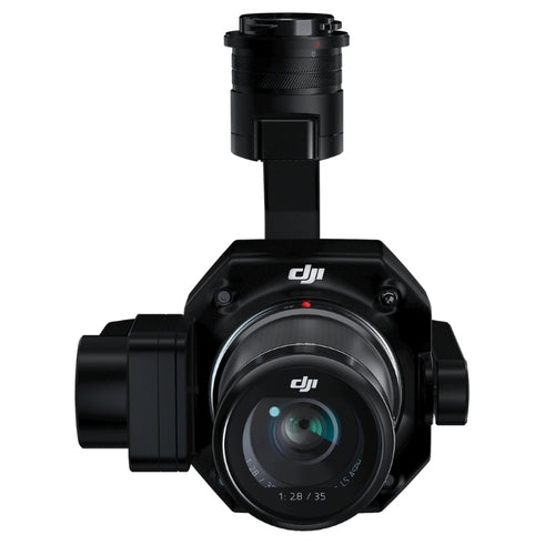
However, the DJI Zenmuse L2 integrates a LiDAR module with an RGB camera to produce true-colour point clouds - providing all the benefits of LiDAR, but with the real colour capabilities of deploying photogrammetry.
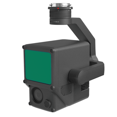
Best LiDAR Drone Solutions For Forestry
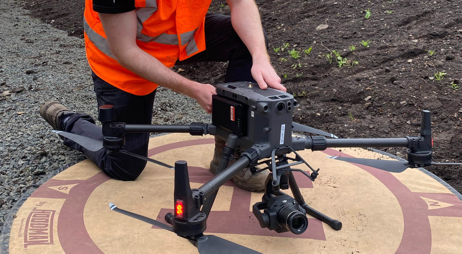
The DJI Zenmuse L2 is a plug-and-play payload which integrates with the DJI M350 RTK and M300.
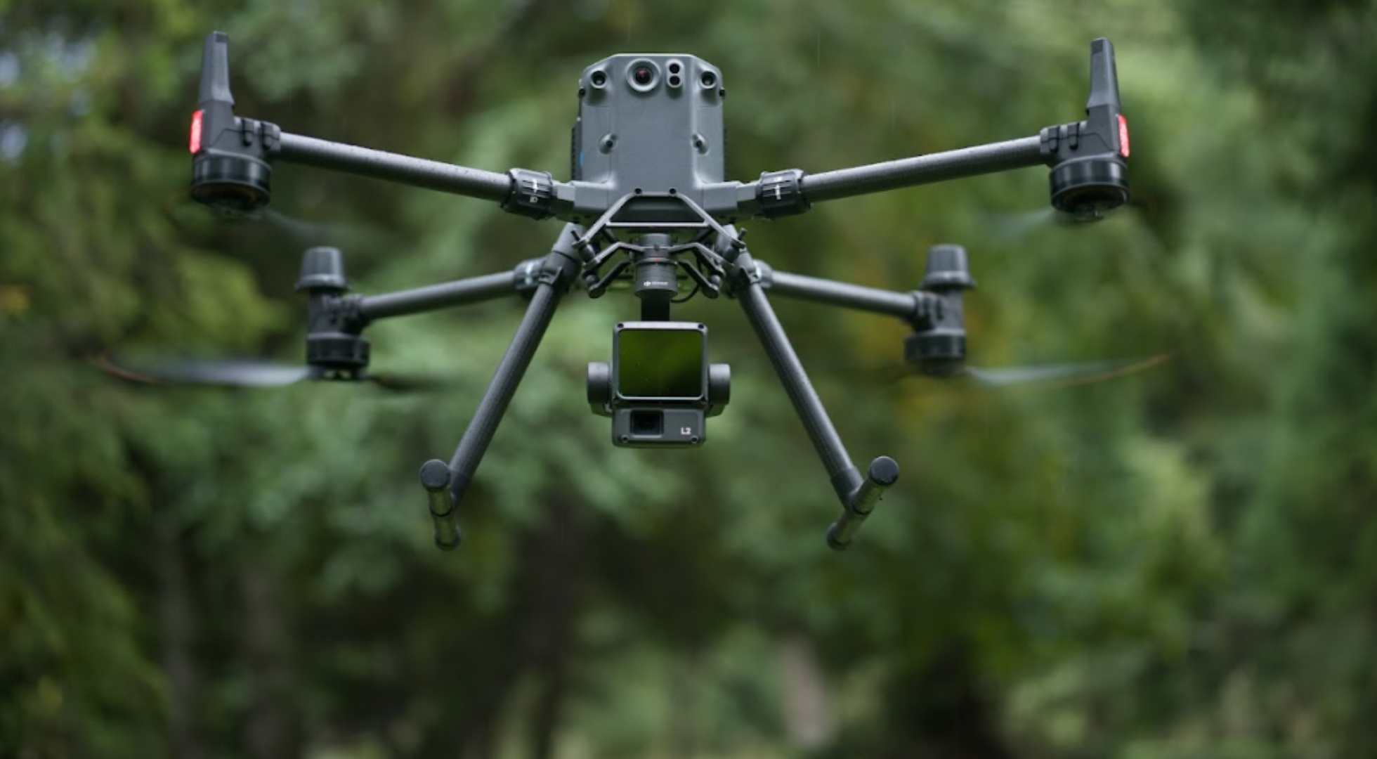
Key features include:
- Vertical accuracy 4cm; Horizontal precision 5cm.
- Can cover 2.5km-squared in single flight.
- Smaller laser spots for denser points clouds.
- 5 returns - in areas with dense vegetation, L2 captures more points under the foliage.
- Improved detection range: 250 m at 10% reflectivity, 100 klx; 450 m at 50% reflectivity, 0 klx.
- Live view of point clouds.
- One-click processing in DJI Terra.
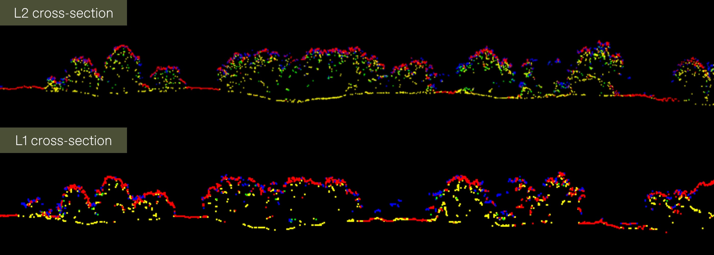
The graphic below demonstrates how the L2's key upgrades enable it to create a more robust and complete ground surface in vegetated areas, compared to its predecessor, the DJI Zenmuse L1.
Best Photogrammetry Drone Solutions For Forestry
While LiDAR stands out as the prominent drone survey option for forestry, there may be some cases where Photogrammetry is required.
Therefore, the best options for Photogrammetry include the DJI M300 Series with the P1, or the DJI Mavic 3 Enterprise.
DJI M350 RTK and P1
The DJI M350 RTK is a flagship upgrade of the DJI M300 RTK. It has an IP55 rating, six-way sensing and positioning, and supports payload swapping.
One of these payloads is the DJI Zenmuse P1 Photogrammetry camera.
Key features include:
- 45MP full-frame CMOS sensor and compatibility with 24mm, 35mm, or 50mm lenses.
- 3-axis stabilised gimbal ensures steady captures during flights.
- Integration with DJI Terra mapping software provides efficient and high-accuracy aerial photogrammetry.
- Up to 10 times greater efficiency than Phantom 4 RTK for orthomosaic and oblique mapping missions.
- 3cm horizontal accuracy, 5cm vertical accuracy without ground control points, 3km² coverage in a single flight.
- TimeSync 2.0 for precise synchronisation.
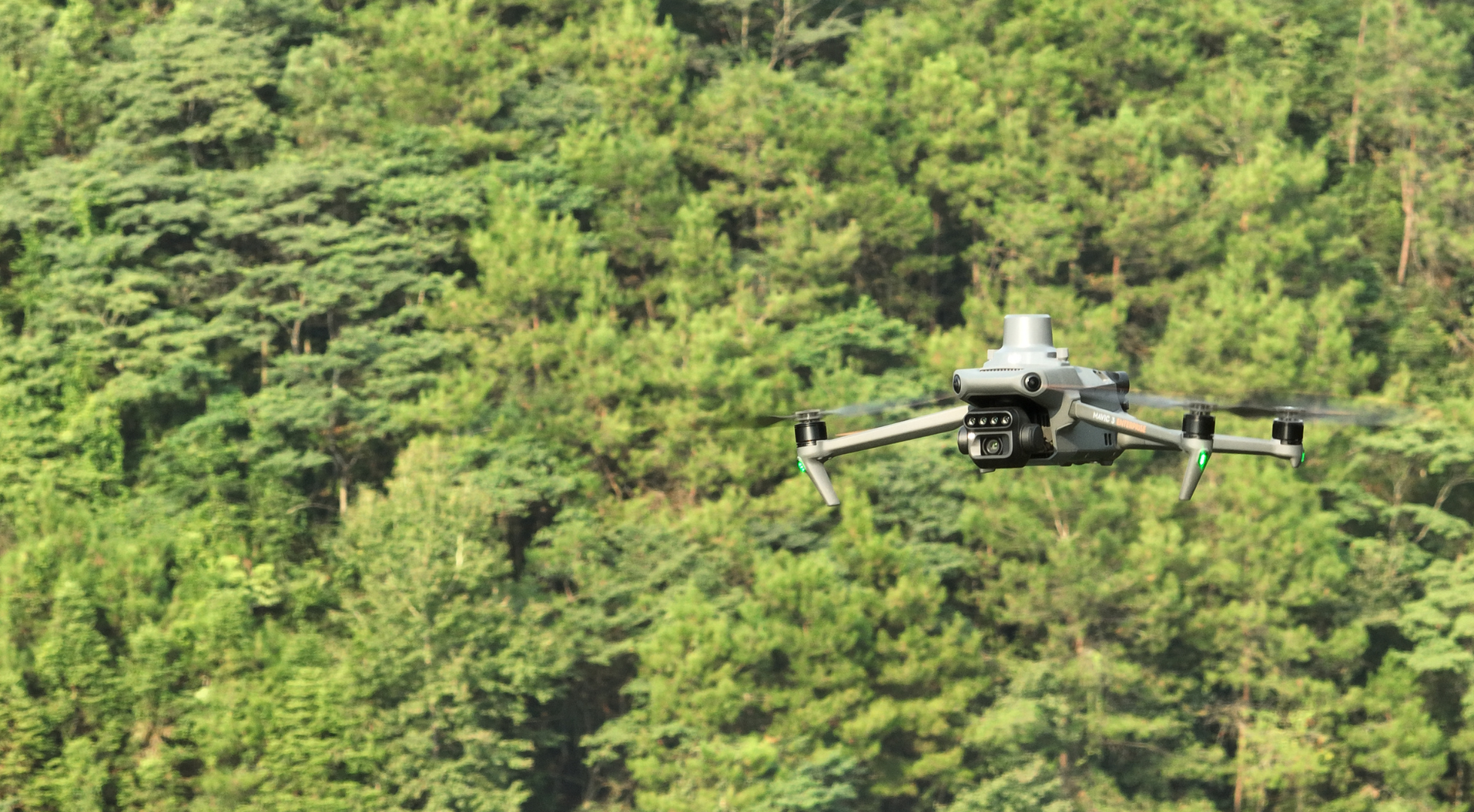
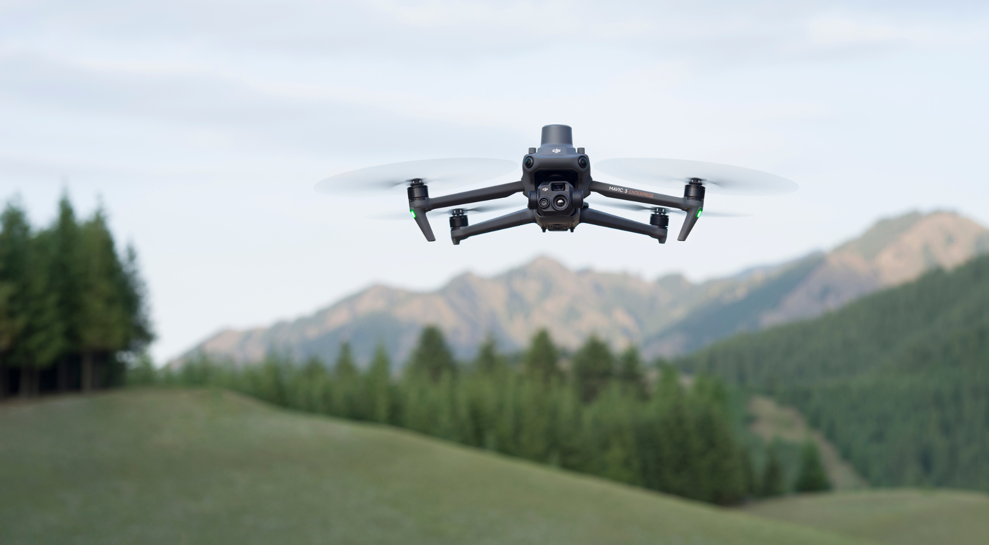
DJI Mavic 3 Enterprise
The DJI Mavic 3 Enterprise proves invaluable for surveying tasks due to its compact size, weighing just under 1kg, making it highly portable.
Key features include:
- 4/3 inch 20MP sensor with mechanical shutter for drone mapping
- Large pixel size, rapid shutter interval, and 45-minute flight time
- Covers up to 16km2 in a day, RTK Module for GCP-free, centimetre accurate mapping, and up to 56x hybrid zoom
- Enhanced flight safety, robust data security, and access to DJI FlightHub 2
Multispectral Imagery For Forestry
Whereupon you need to learn the health of your vegetation, multispectral Imaging can be an incredible asset.
Multispectral imaging offers precise detection of diseases in vegetation, optimising crop management and conserving water resources by ensuring efficient irrigation practices.

Additionally, it enables the assessment of environmental factors like soil moisture levels and micro-climatic conditions, enhancing the comprehensive understanding of forest dynamics.
Employing multispectral sensors enables you to capture images across various wavelengths of light beyond the visible spectrum, offering insights into the health and vitality of forest ecosystems.
As multispectral imaging encapsulates colours across the spectrum, it is not hindered by dense areas and can still accurately gather data regardless of possible obstacles such as dense foliage, mountains etc.
Drones equipped with multispectral cameras can detect subtle differences in vegetation health, identifying stress indicators like disease, nutrient deficiencies, or invasive species infestations. As shown above, the trees' health can be determined by what colour they are.
This capability enables foresters to pinpoint areas requiring intervention and develop tailored care plans or restoration strategies based on accurate data.
Best Drone For Multispectral Imagery
Multispectral technology in drones enhances the efficiency and effectiveness of forestry practices, supporting sustainable management and conservation efforts.
The best aircraft to achieve these results is the DJI Mavic 3 Multispectral, the world's smallest 4-band multispectral drone camera specifically designed for precision agriculture.
Thermal Imagery For Forestry
Thermal cameras mounted on drones enable the identification of heat anomalies within forested areas by detecting infrared radiation emitted by objects, an invaluable instrument in detecting forest fires in their early stages.
Identifying disasters such as fires in their early stages allows for rapid response times, mitigating potential damage and protecting valuable ecosystems.
Moreover, thermal imaging facilitates monitoring wildlife populations, as animals emit distinct heat signatures that can be detected from the air, and even assesses vegetation health by highlighting temperature variations that indicate disease or distress.

Thermal imaging with drones offers a versatile tool for improving forest monitoring, conservation, and emergency response initiatives.
Best Thermal Drones For Forestry
heliguy™ promotes using the DJI Mavic 3 Thermal drone to get the best thermal imagery.
It is capable of versatile image collection, such as thermal, wide, and hybrid zooming, and its omnidirectional sensing reduces the chances of accidents in flight, such as dealing with dense foliage.
Summary
Overall, using drones in forestry offers many benefits, from improved data accuracy and efficiency to enhanced environmental monitoring and sustainable forest management.
All of these benefits boost your overall efficiency and reduce costs, making drones a practical tool for regular and large-scale monitoring of forests.
So, if you want to learn more or get started, look at the links below, which display different drone options for buying or renting.

Leave a comment