Is drone spraying legal in the UK?
In the UK, drones can be used to spray non-regulated substances, while the HSE (Health and Safety Executive) does accept requests to permit the application of pesticides by drone, but this is judged on a case-by-case scenario.

Do I need an OSC for drone spraying in the UK?
An OSC is required to conduct drone spraying/spreading. It is also required for operators flying the DJI Agras T40 and T30, due to their weight.
heliguy™ provides an in-house OSC consultancy to help candidates prepare for the submission to the UK CAA. Candidates are required to have a valid Operational Authorisation (from GVC) before they can apply for an OSC.
Separate costs for the OSC process apply.

How long is the training?
The course is a multi-day training course, designed to provide GVC and DJI Agras drone spraying training. The maximum length of the course is five days (three days GVC, two days DJI Agras training), but this can be shortened depending on the number of candidates. Please contact our training team to find out more.

Is there a flight test during the training course?
Yes, candidates will conduct the practical flight training aspect of the GVC during the course. The theory part of the GVC must be completed before attending the course.
Candidates will also be required to complete a DJI Agras-specific theory exam and practical DJI Agras training.

Do pilots need to bring their own drones to the course?
heliguy™ and Drone Ag will supply drones for the training, but drone pilot teams are welcome to bring their own hardware/equipment to the session.

What do pilots need to bring to the training?
Pilots should bring suitable wet and cold weather clothing and suitable footwear for outdoor activities.

How many pilots are needed for the course?
Contact our training team to discuss course numbers. Our provision will be delivered in a way that ensures each participant receives a premium and tailored training experience.

Where does the training take place?
The course takes place at Drone Ag’s specialist agricultural facility in Northumberland (Old Bewick, Alnwick, NE66 4DZ). This provides the ideal backdrop to tailor your agricultural drone training.
Candidates will be required to book their own accommodation for the duration of the training.

What happens on completion of the course?
Candidates who pass the GVC will be able to apply to the CAA for an Operational Authorisation. They can then work towards an OSC, if required. Drone Ag will provide candidates with a certificate, proving they are qualified to use the DJI Agras spray drones.

What are the best drones for farm mapping?
The DJI Mavic 3M is one of the best drones for agricultural mapping, combining an RGB camera with a multispectral camera.
Its upgraded camera array makes it ideal for conducting high-precision aerial surveys, crop-growth monitoring, and natural resource surveys.
The Mavic 3 Multispectral is an efficient aircraft, capable of covering up to 2 square kilometres in a single flight.
Key features of the DJI Mavic 3M include:
-
Quality Drone Mapping Visual Camera: 4/3 CMOS 20MP, 1/2000s mechanical shutter speed, 0.7s high-speed burst when RGB camera is used.
-
Multispectral Mapping: 4 5MP multispectral sensors. Green (560 ± 16 nm;); Red 650 ± 16 nm; Red Edge 730 ± 16 nm; Near Infrared 860 ± 26 nm.
-
RTK Module: The RTK Module provides real-time centimetre-level positioning data for improved absolute accuracy of image metadata.
-
Compact and Portable: Foldable and with a maximum take-off weight of 1,050g, the Mavic 3M is easily transportable and quick to deploy.
-
Precise Positioning: RTK module provides real-time centimetre-level positioning data for improved absolute accuracy of image metadata. This enables Mavic 3M to do high-precision aerial surveying without using ground control points.
-
Sunlight Sensor: Built-in sunlight sensor captures solar irradiance and records it in an image file, allowing for light compensation of image data during 2D reconstruction. This results in more accurate NDVI results.
-
Efficient Aerial Surveying: The Mavic 3M can fly for 43 minutes. Cover up to 200 hectares per flight.
-
Terrain-follow Aerial Surveying: The terrain-follow aerial surveying can be easily performed in steep-slope landscapes. The drone can also conduct field scouting.
-
Software Suite: Import data into DJI Terra or the DJI SmartFarm Platform for detailed maps and models and other insights.

What are the best drones for crop spraying?
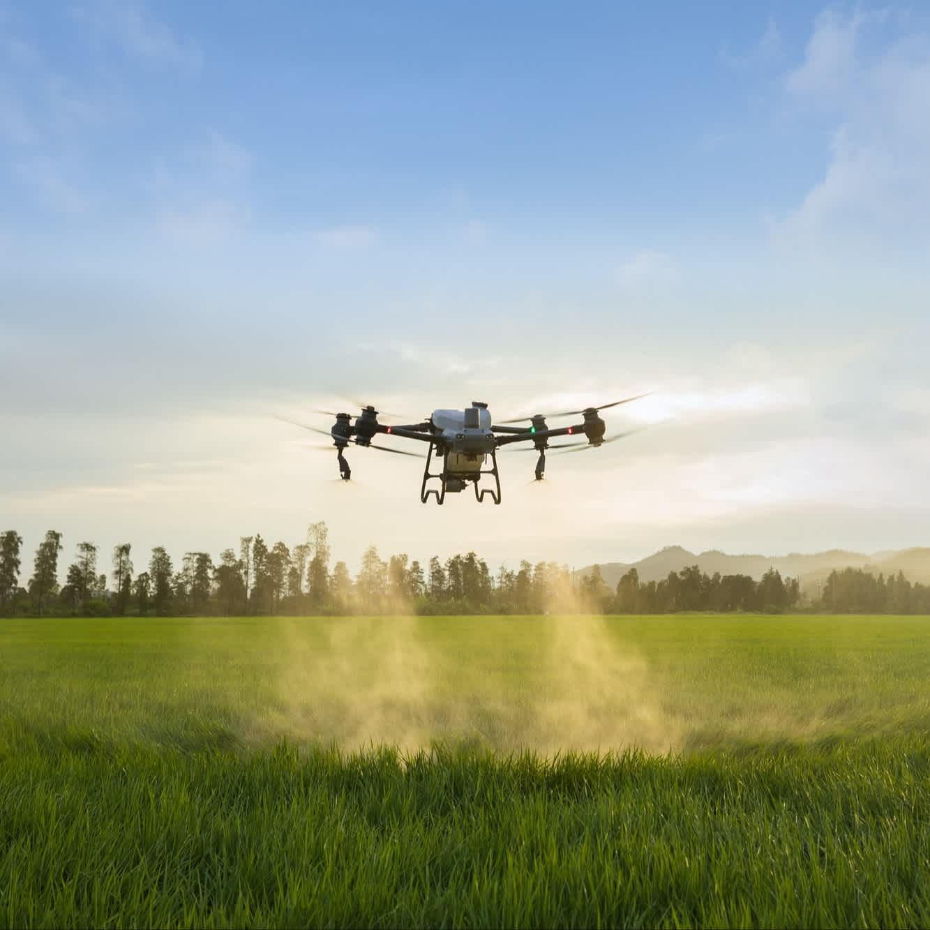
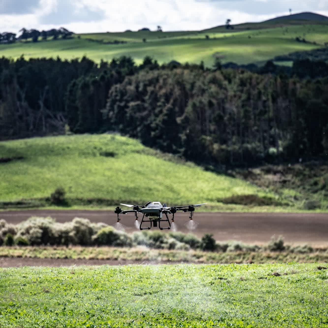
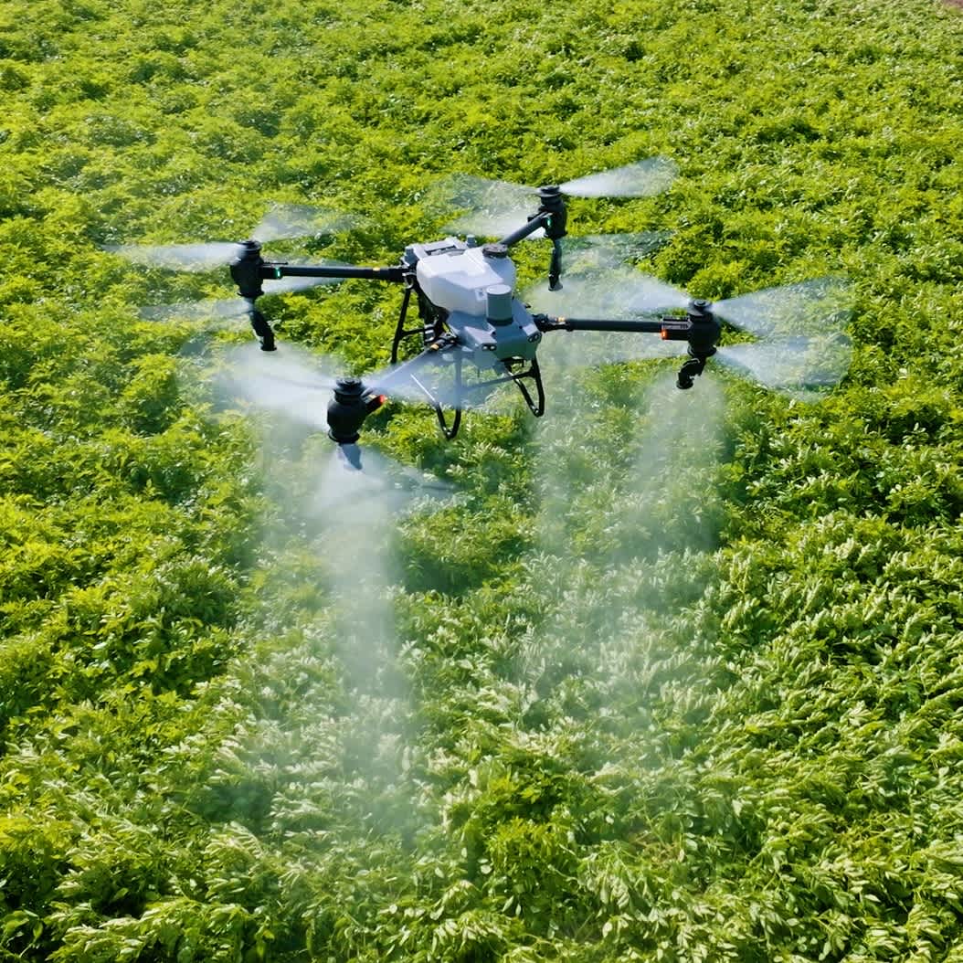
The DJI Agras drones are equipped with high-precision spraying systems.
These automated platforms are highly efficient solutions, enabling farmers to cover more ground in less time. For instance, the DJI Agras T30 can cover 40 acres an hour.
The DJI Agras are available in different sizes with different capacities and can be used for spraying and spreading.
They enable targeted, even distribution; strong penetration; and prevent drift. This avoids over-fertilisation and prevents leakage.
DJI Agras are large, rugged industrial machines and feature obstacle avoidance capabilities as with other enterprise DJI Drones.
Click to find out more about DJI Agras crop spraying drones or read more about the best drones for agriculture.

What is the best drone for agriculture?
The best drone for agriculture & farming depend on what kind of mission you are flying.
For data collection, surveying and mapping - the Mavic 3M is the best solution for the job with it's multispectral sensor array and mechanical shutter, but for crop spraying and seeding operations - the purpose-built DJI Agras range are the only aircraft with these advanced capabilities.
The DJI Mavic 3M is one of the best drones for agricultural mapping, combining an RGB camera with a multispectral camera.
Its upgraded camera array makes it ideal for conducting high-precision aerial surveys, crop-growth monitoring, and natural resource surveys.
The Mavic 3 Multispectral is an efficient aircraft, capable of covering up to 2 square kilometres in a single flight.
Key features of the DJI Mavic 3M include:
-
Quality Drone Mapping Visual Camera: 4/3 CMOS 20MP, 1/2000s mechanical shutter speed, 0.7s high-speed burst when RGB camera is used.
-
Multispectral Mapping: 4 5MP multispectral sensors. Green (560 ± 16 nm;); Red 650 ± 16 nm; Red Edge 730 ± 16 nm; Near Infrared 860 ± 26 nm.
-
RTK Module: The RTK Module provides real-time centimetre-level positioning data for improved absolute accuracy of image metadata.
-
Compact and Portable: Foldable and with a maximum take-off weight of 1,050g, the Mavic 3M is easily transportable and quick to deploy.
-
Precise Positioning: RTK module provides real-time centimetre-level positioning data for improved absolute accuracy of image metadata. This enables Mavic 3M to do high-precision aerial surveying without using ground control points.
-
Sunlight Sensor: Built-in sunlight sensor captures solar irradiance and records it in an image file, allowing for light compensation of image data during 2D reconstruction. This results in more accurate NDVI results.
-
Efficient Aerial Surveying: The Mavic 3M can fly for 43 minutes. Cover up to 200 hectares per flight.
-
Terrain-follow Aerial Surveying: The terrain-follow aerial surveying can be easily performed in steep-slope landscapes. The drone can also conduct field scouting.
-
Software Suite: Import data into DJI Terra or the DJI SmartFarm Platform for detailed maps and models and other insights.
The DJI Agras drones are equipped with high-precision spraying systems.
These automated platforms are highly efficient solutions, enabling farmers to cover more ground in less time. For instance, the DJI Agras T30 can cover 40 acres an hour.
The DJI Agras are available in different sizes with different capacities and can be used for spraying and spreading.
They enable targeted, even distribution; strong penetration; and prevent drift. This avoids over-fertilisation and prevents leakage.
DJI Agras are large, rugged industrial machines and feature obstacle avoidance capabilities as with other enterprise DJI Drones.
Click to find out more about DJI Agras crop spraying drones or read more about the best drones for agriculture.