Emlid Reach M2 RTK / PPK System
£0.00
Tax included in UK & Shipping calculated at checkout
50-days return policy
Next-day delivery - order before 3 pm
Achieve positioning with 1cm accuracy in RTK and PPK, and use less GCPs. The Reach M2 is a multi-band RTK GNSS module, with a baseline of up to 100km in PPK.
Overview
Contents
Specifications
FAQ
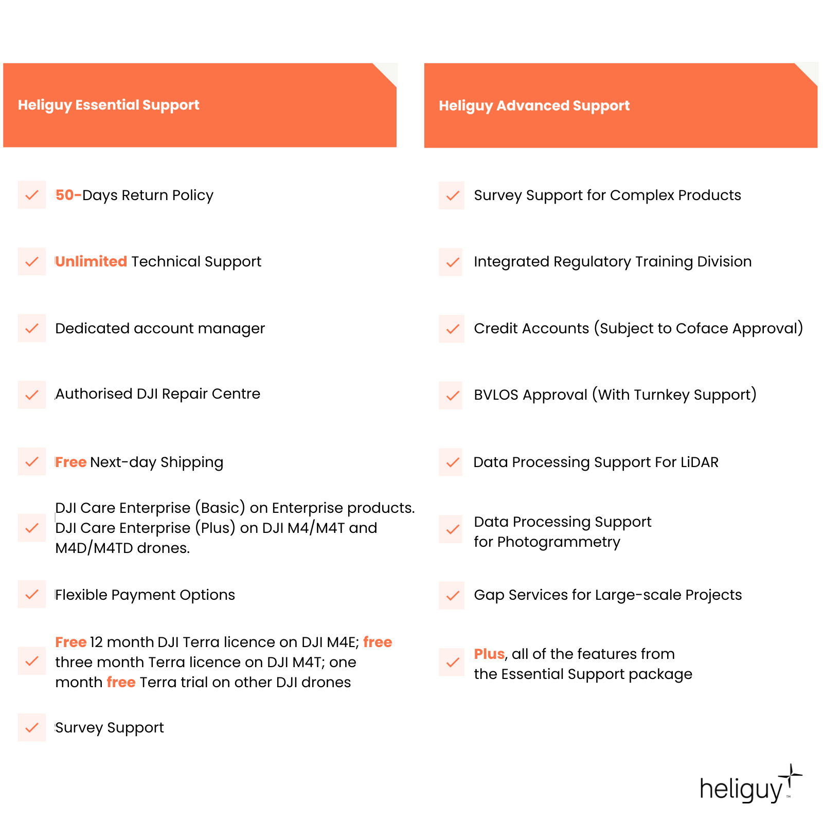
Heliguy Services
Emlid Reach M2 RTK GNSS Module
PPK mapping with CM-level accuracy
Emlid Reach M2 is a compact and affordable Multi-band GNSS RTK receiver with built-in IMU for precise navigation and UAV mapping without ground control points.
It logs and tracks the exact moment when each photo is taken. The time and coordinates of each photo are logged with a resolution of less than a microsecond. This means that the number of checkpoints can be reduced - and allows GCPs to be used only to check your accuracy - and enables the creation of precise 3D models.

Accreditation
![UK CAA Recognised Assessment Entity (RAE)]()
UK CAA Recognised Assessment Entity (RAE)
Authorised GVC/A2 CofC Training Courses
![UK CAA Permission for BVLOS Flights: Operational Authorisation UAS 15435]()
UK CAA Permission for BVLOS Flights: Operational Authorisation UAS 15435
Helping companies unlock BVLOS missions in an AAE with DJI Docks
![The UK's only DJI Gold and S-Level Partner]()
The UK's only DJI Gold and S-Level Partner
Trusted supply on DJI products
![ISO 9001 Certification]()
ISO 9001 Certification
Driving industry standards through robust operational protocols for enhanced safety and reliability
![Training Qualifications UK]()
Training Qualifications UK
Accredited training courses endorsed by TQUK.
![Ofqual-regulated Training]()
Ofqual-regulated Training
Recognised quality mark for meeting accreditation criteria.
![Cyber Essentials]()
Cyber Essentials
Verified data security
![Financial Conduct Authority]()
Financial Conduct Authority
Authorised to conduct regulated financial services
![Armed Forces Covenant Defence Employer Recognition Scheme - Silver Award]()
Armed Forces Covenant Defence Employer Recognition Scheme - Silver Award
Proud supporter of our Armed Forces
![D-U-N-S Registered: 77-916-1210]()
D-U-N-S Registered: 77-916-1210
Verified to conduct international business


