Matrice 300 RTK Virtual Handover Training
£0.00
Tax included in UK & Shipping calculated at checkout
50-days return policy
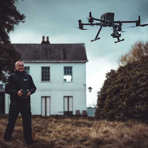
The heliguy™ M300 RTK Virtual Handover provides dedicated set up, workflow support, and best practices to enable operators to confidently deploy the drone and the H20T payload.
Content Delivery Available online via the heliguy™ Learning Management System (LMS), the tutorials are delivered via voice-over video by our in-house training team.
Learning Outcomes This handover covers all areas of setting up and operating the DJI M300 RTK and deploying the H20T, including thermal data capture.
heliguy™: Your Drone Training Partner Our instructors have taught 7,000+ candidates and delivered M300 RTK training to organisations such as Network Rail, National Grid, Phillips 66, and Associated British Ports.
Overview
Specifications
Support
FAQ
Heliguy Services
M300 RTK Virtual Handover
Your guide to DJI’s powerful commercial drone
The heliguy™ M300 RTK Virtual Handover provides a detailed workflow to help you learn how to set up and deploy this powerful enterprise drone.
heliguy™ is an experienced provider of face-to-face drone handovers. The digital format of this handover gives you the chance to view the training material on demand and rewatch the tutorials to reinforce learning.
The course content includes:
Technical specifications
Assembly
Functional checks, calibration and updating the firmware
Take-off procedure
Understanding the DJI Pilot user interface
Controller operating system
Utilising Dual Operator mode
Using the BS60 Charging Station

Zenmuse H20T Introduction
Quad-sensor solution for maximum versatility
Learn how to deploy the H20T, which is a powerful quad-sensor solution featuring a zoom, wide-angle, thermal, and laser rangefinder. The guide to the H20T payload, which forms part of the M300 RTK handover, includes:
Guide to the user interface
Gimbal alignment - pan, tilt and zoom
How to use the Smart Track function
Capturing and visualising data in split screen mode
Thermal functions, including colour palettes and the temperature spot check feature

Accreditation
![UK CAA Recognised Assessment Entity (RAE)]()
UK CAA Recognised Assessment Entity (RAE)
Authorised GVC/A2 CofC Training Courses
![UK CAA Permission for BVLOS Flights: Operational Authorisation UAS 15435]()
UK CAA Permission for BVLOS Flights: Operational Authorisation UAS 15435
Helping companies unlock BVLOS missions in an AAE with DJI Docks
![The UK's only DJI Gold and S-Level Partner]()
The UK's only DJI Gold and S-Level Partner
Trusted supply on DJI products
![ISO 9001 Certification]()
ISO 9001 Certification
Driving industry standards through robust operational protocols for enhanced safety and reliability
![Training Qualifications UK]()
Training Qualifications UK
Accredited training courses endorsed by TQUK.
![Ofqual-regulated Training]()
Ofqual-regulated Training
Recognised quality mark for meeting accreditation criteria.
![Cyber Essentials]()
Cyber Essentials
Verified data security
![Financial Conduct Authority]()
Financial Conduct Authority
Authorised to conduct regulated financial services
![Armed Forces Covenant Defence Employer Recognition Scheme - Silver Award]()
Armed Forces Covenant Defence Employer Recognition Scheme - Silver Award
Proud supporter of our Armed Forces
![D-U-N-S Registered: 77-916-1210]()
D-U-N-S Registered: 77-916-1210
Verified to conduct international business


