Terrasolid UAV Bundle
£0.00
Tax included in UK & Shipping calculated at checkout
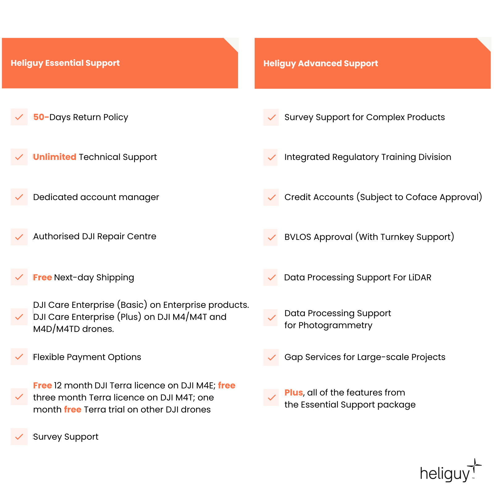
50-days return policy
Next-day delivery - order before 3 pm
Terrasolid is the industry standard software for point cloud and image processing and can be used as a companion software to DJI Terra.
Terrasolid has a range of UAV drone bundles to help you pick a tailored solution for your aerial surveying missions.
Overview
Contents
Support
FAQ
Heliguy Services
Terrasolid UAV Bundle
UAV Bundles
Terrasolid UAV bundles enable you to conduct data processing with drone survey data.
Among the drone packages, the TerraScan UAV + TerraModeler UAV is recommended - and comes with the highly-automated Wizard for processing aerial LiDAR survey data.
Terrasolid is sensor agnostic, but is particularly effective for processing data captured from the DJI Zenmuse L3, the DJI Zenmuse L2, and DJI Zenmuse L1 payloads. It can be used as a companion software to DJI Terra for enhanced point cloud cleaning and analysis.
UAV Bundles include:
TerraScan UAV + TerraModeler UAV
TerraScan UAV + TerraPhoto UAV
TerraScan UAV + TerraMatch UAV
TerraScan UAV + TerraModeler UAV + TerraPhoto UAV
TerraScan UAV + TerraModeler UAV + TerraMatch UAV
TerraScan UAV + TerraMatch UAV + TerraPhoto UAV
TerraScan UAV + TerraModeler UAV + TerraPhoto UAV + TerraMatch UAV
Terrasolid Software Platforms
Versatile data processing
TerraScan: The main application for managing and processing point clouds. It is particularly effective for LiDAR data.
TerraModeler: Create, edit, and utilise surface models. TerraModeler creates surface models (TINs) from various sources, such as LiDAR points stored in binary files or loaded in TerraScan, XYZ ascii files and graphical design elements.
TerraMatch: Improve the accuracy and quality of the raw laser point cloud. TerraMatch compares laser data from overlapping flight or drive paths and calculates correction values for the misalignment angles as well as xyz location errors.
TerraPhoto: Specifically developed to process images captured together with laser data during a survey mission.

Accreditation
![UK CAA Recognised Assessment Entity (RAE)]()
UK CAA Recognised Assessment Entity (RAE)
Authorised GVC/A2 CofC Training Courses
![UK CAA Permission for BVLOS Flights: Operational Authorisation UAS 15435]()
UK CAA Permission for BVLOS Flights: Operational Authorisation UAS 15435
Helping companies unlock BVLOS missions in an AAE with DJI Docks
![The UK's only DJI Gold and S-Level Partner]()
The UK's only DJI Gold and S-Level Partner
Trusted supply on DJI products
![ISO 9001 Certification]()
ISO 9001 Certification
Driving industry standards through robust operational protocols for enhanced safety and reliability
![Training Qualifications UK]()
Training Qualifications UK
Accredited training courses endorsed by TQUK.
![Ofqual-regulated Training]()
Ofqual-regulated Training
Recognised quality mark for meeting accreditation criteria.
![Cyber Essentials]()
Cyber Essentials
Verified data security
![Financial Conduct Authority]()
Financial Conduct Authority
Authorised to conduct regulated financial services
![Armed Forces Covenant Defence Employer Recognition Scheme - Silver Award]()
Armed Forces Covenant Defence Employer Recognition Scheme - Silver Award
Proud supporter of our Armed Forces
![D-U-N-S Registered: 77-916-1210]()
D-U-N-S Registered: 77-916-1210
Verified to conduct international business


