DJI Zenmuse L1 Workflow Course
Free
50-days return policy
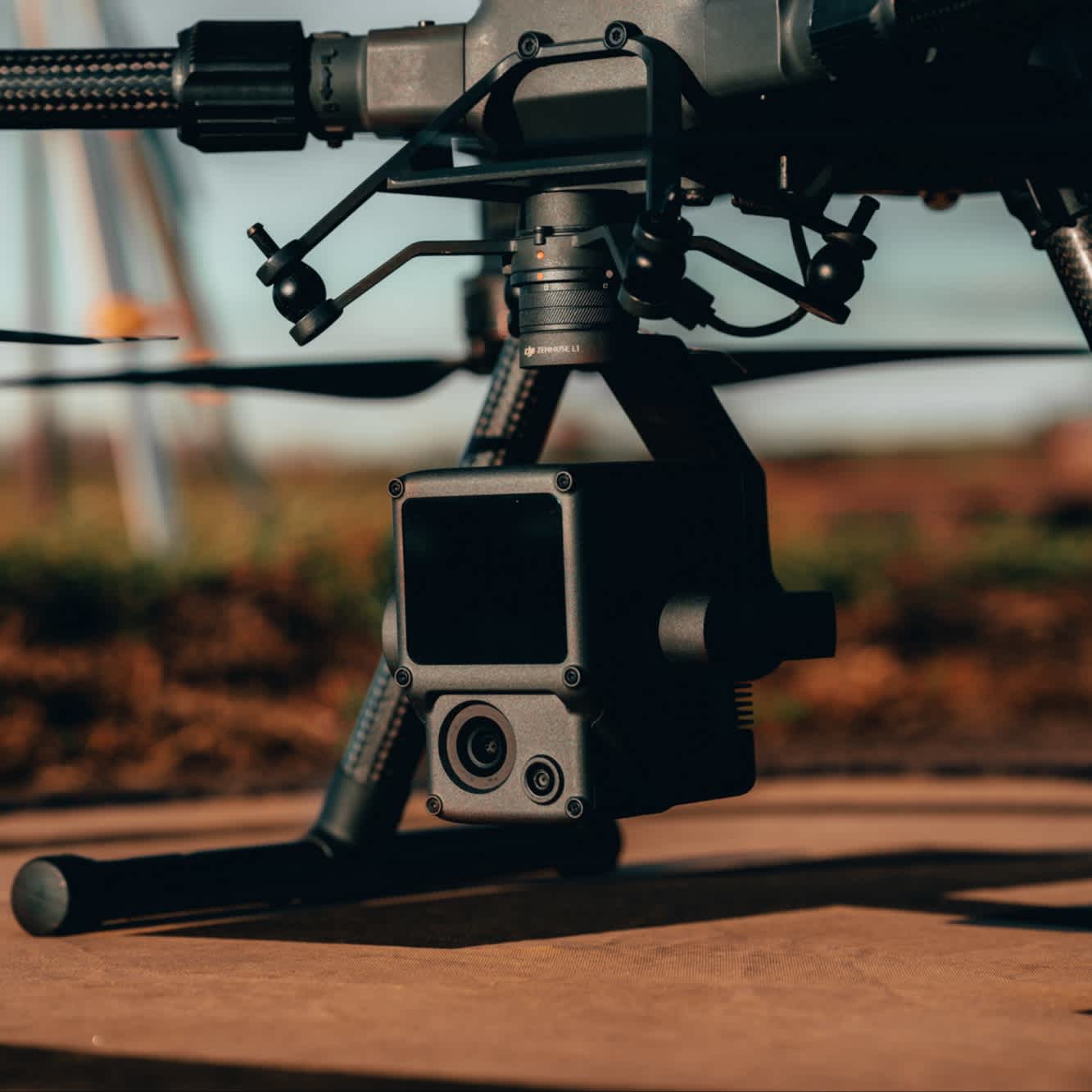
Free-to-watch surveying course, dedicated to the DJI Zenmuse L1 LiDAR and photogrammetry payload.
Featuring more than two hours of video content, including on-screen demonstrations, the material is presented by the heliguy™ in-house surveying team. A course handbook is also available after accessing the course.
Learn how to best deploy the L1, with the content covering topics such as data capture and post-processing.
The course was created by heliguy™ and DJI has since purchased the course licence to share to a global audience.
Overview
Contents
Specifications
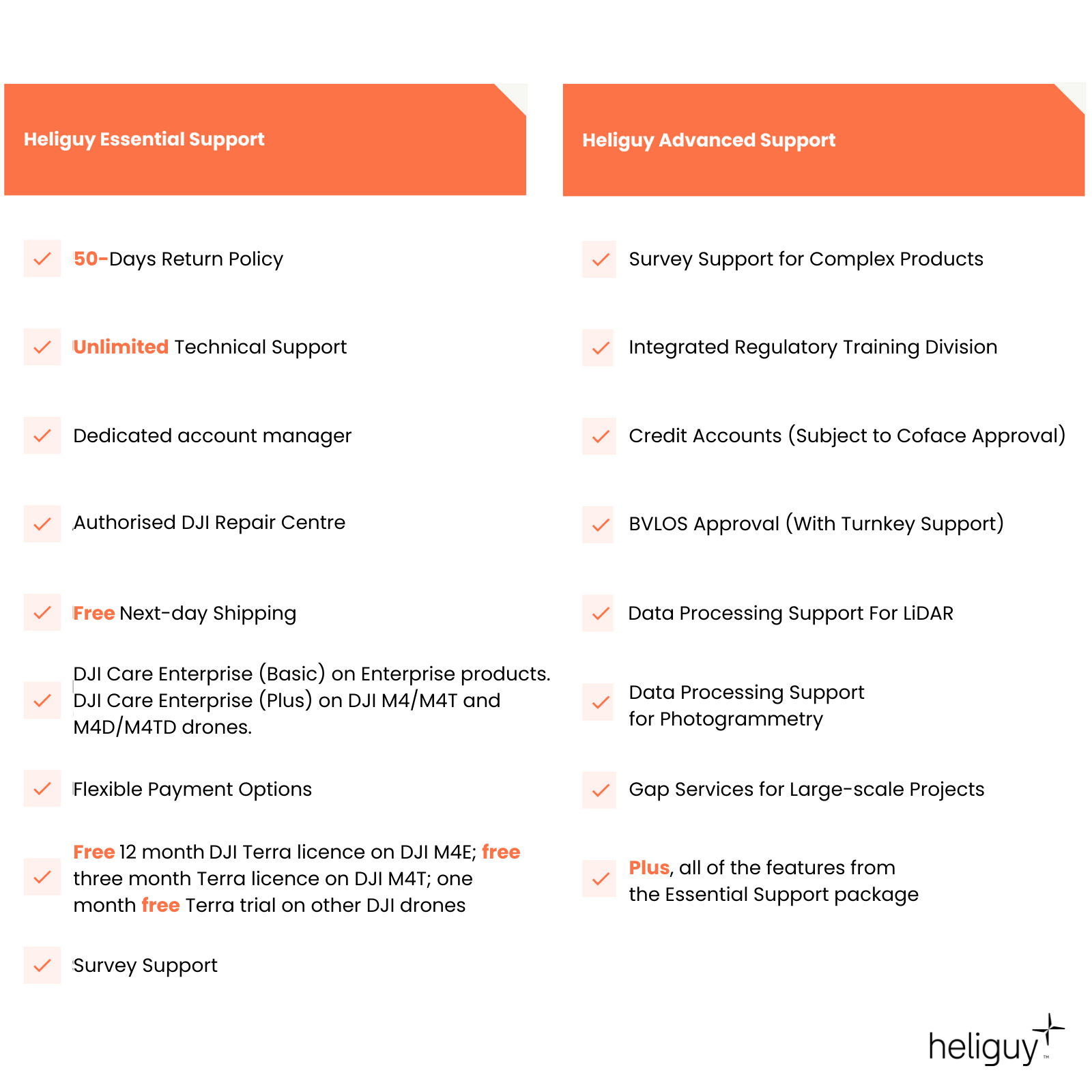
Support
FAQ
Heliguy Services
Zenmuse L1 LiDAR Workflow Training
End-to-end survey workflow training
This course is dedicated to the DJI Zenmuse L1 LiDAR and photogrammetry payload, for the DJI M300 RTK and DJI M350 RTK.
Featuring more than two hours of video content, the free-to-watch course covers topics such as:
Workflows for obtaining positional corrections.
Assembly and connection to the DJI D-RTK 2 Base Station.
LiDAR theory.
Best L1 parameters.
Mission Deployment: Topographical surveying, oblique scanning, corridor mapping and terrain follow.
IMU calibration.
Employing ground control for LiDAR data sets.
Post-processing in DJI Terra and TerraSolid, including classification.

Accreditation
![UK CAA Recognised Assessment Entity (RAE)]()
UK CAA Recognised Assessment Entity (RAE)
Authorised GVC/A2 CofC Training Courses
![UK CAA Permission for BVLOS Flights: Operational Authorisation UAS 15435]()
UK CAA Permission for BVLOS Flights: Operational Authorisation UAS 15435
Helping companies unlock BVLOS missions in an AAE with DJI Docks
![The UK's only DJI Gold and S-Level Partner]()
The UK's only DJI Gold and S-Level Partner
Trusted supply on DJI products
![ISO 9001 Certification]()
ISO 9001 Certification
Driving industry standards through robust operational protocols for enhanced safety and reliability
![Training Qualifications UK]()
Training Qualifications UK
Accredited training courses endorsed by TQUK.
![Ofqual-regulated Training]()
Ofqual-regulated Training
Recognised quality mark for meeting accreditation criteria.
![Cyber Essentials]()
Cyber Essentials
Verified data security
![Financial Conduct Authority]()
Financial Conduct Authority
Authorised to conduct regulated financial services
![Armed Forces Covenant Defence Employer Recognition Scheme - Silver Award]()
Armed Forces Covenant Defence Employer Recognition Scheme - Silver Award
Proud supporter of our Armed Forces
![D-U-N-S Registered: 77-916-1210]()
D-U-N-S Registered: 77-916-1210
Verified to conduct international business


