Emlid GNSS Receivers
Precision GNSS
GNSS
Accessories
Transform survey workflows with Emlid GNSS
High-precision RTK GNSS receivers and software
Emlid is a leading European developer of professional-grade GNSS receivers designed for surveying, GIS, construction set-out, and drone workflows.
Built around powerful multi-band RTK technology and intuitive software, Emlid’s solutions deliver centimetre-level accuracy with rugged durability and flexible connectivity options.
Emlid delivers a complete and connected solution that is perfect for demanding fieldwork. It simplifies data capture, synchronisation, and post-processing — connecting field-to-office workflows.
heliguy™ is an authorised Emlid partner and our in-house survey specialists offer expert consultancy, supply, and end-to-end workflow guidance.
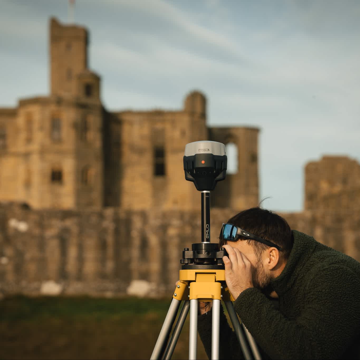
Emlid hardware solutions
Precision GNSS receivers for every workflow
Emlid’s GNSS hardware range covers compact rovers to advanced multi-purpose receivers:
Reach RX & RX2: Ultra-portable network rovers — ideal for quick site visits, asset capture, and GIS mapping.
Reach RS3: A proven all-round GNSS receiver with reliable tilt compensation and robust radios for base/rover roles.
Reach RS4 & RS4 Pro: Next-generation all-band RTK receivers with enhanced IMU tilt, stronger radio performance, and rugged build. RS4 Pro adds integrated dual cameras for AR stake-out and image-based measurements.

Emlid RS4 Pro vs RS4 vs RS3
Which GNSS receiver is best for you?
Emlid RS4 Pro | Emlid RS4 | Emlid RS3 | |
|---|---|---|---|
GNSS support | All-band RTK | All-band RTK | Multi-band RTK |
Channels | 672 | 672 | 184 |
IMU tilt compensation | Advanced, fast | Advanced, fast | Standard |
Cameras/AR | Dual integrated cameras — AR stakeout & visual capture | No | No |
Radio | LoRa + UHF bi-directional | LoRa + UHF bi-directional | LoRa/UHF (varies) |
Durability | IP68 | IP68 | IP67 |
Best for | Complex set-out & inaccessible points | Everyday survey & construction | Trusted all-round fieldwork |
The RS4 series represents a significant step up over the RS3 with improved signal tracking, faster tilt fixes, and better connectivity. The RS4 Pro builds on that foundation with vision-based workflows that can redefine stake-out and measurement tasks.
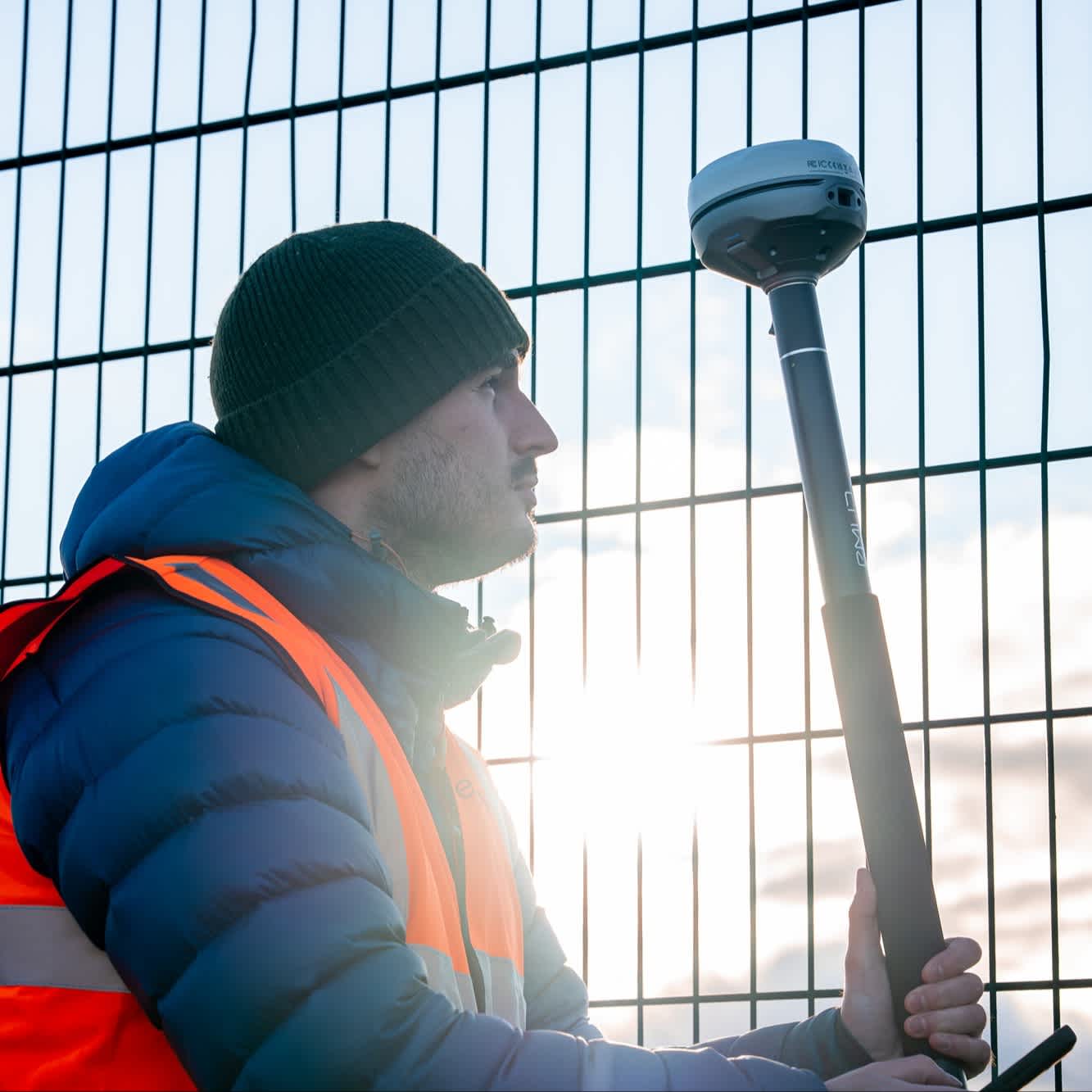
Emlid RX2 vs Emlid RX
Which lightweight rover is best for you?
Emlid RX2 | Emlid RX | |
|---|---|---|
GNSS tracking | All-band RTK | Multi-band RTK |
IMU tilt compensation | Supported | Not supported |
Channels | 672 | 184 |
Portability | Ultra-light | Ultra-light |
Connectivity | Bluetooth LE | Bluetooth |
Best for | Fast deployment & GIS tasks | Everyday portable RTK rover |
RX2 updates Emlid's compact rover platform with all-band tracking and tilt compensation — making it a stronger performer, especially under canopy or in built environments compared to the RX. Click here for full comparison.
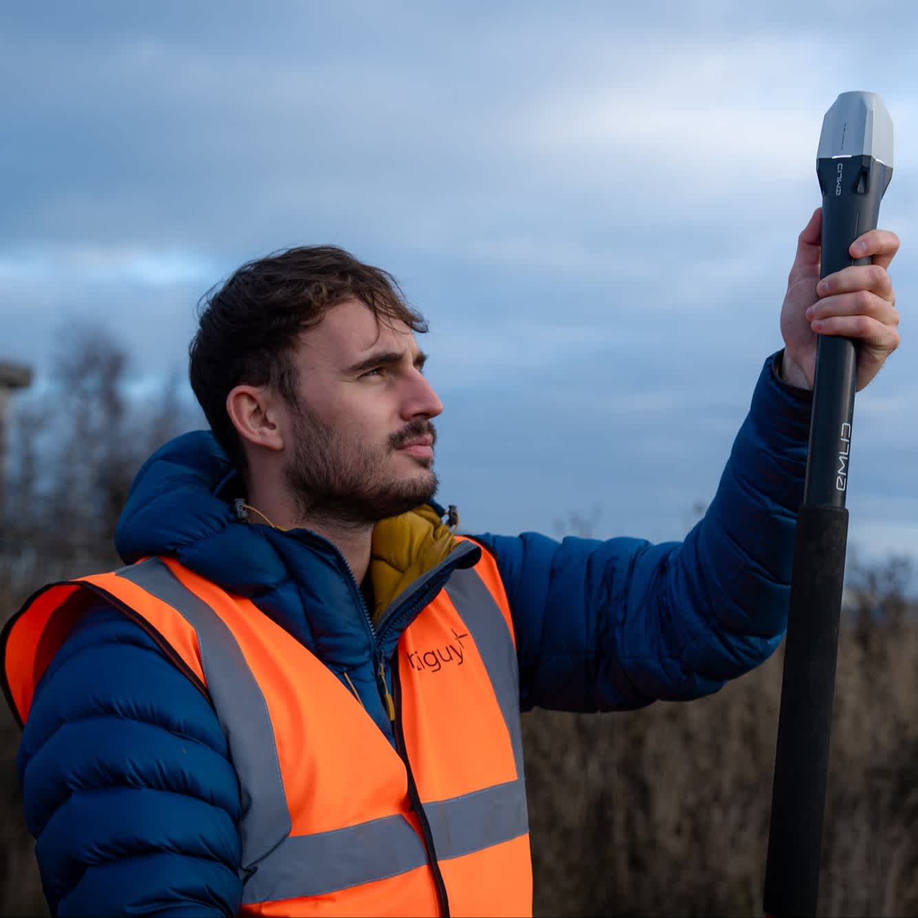
Emlid software suite
Seamless capture, processing, and export
Emlid Flow (Mobile App): Centralised field control for project setup, RTK base/rover configuration, tilt compensation, and real-time logging. Links the field to the office via mobile, cloud, and desktop tools.
Emlid Flow 360 (Web): Manage projects, coordinate systems and data sharing from any browser. Instantly sync field data to the office.
Emlid Studio (Desktop): Download for free. Post-process data from GNSS receivers and RTK drones, including DJI solutions.
Emlid Caster (Web application): Works with Reach and any other receivers with NTRIP support. Set up your own NTRIP base for an RTK drone (including DJI), or another GNSS receiver. Free service, and works worldwide.
Together, these tools support seamless capture, processing and export without switching platforms — keeping survey data organised from the field to the office.
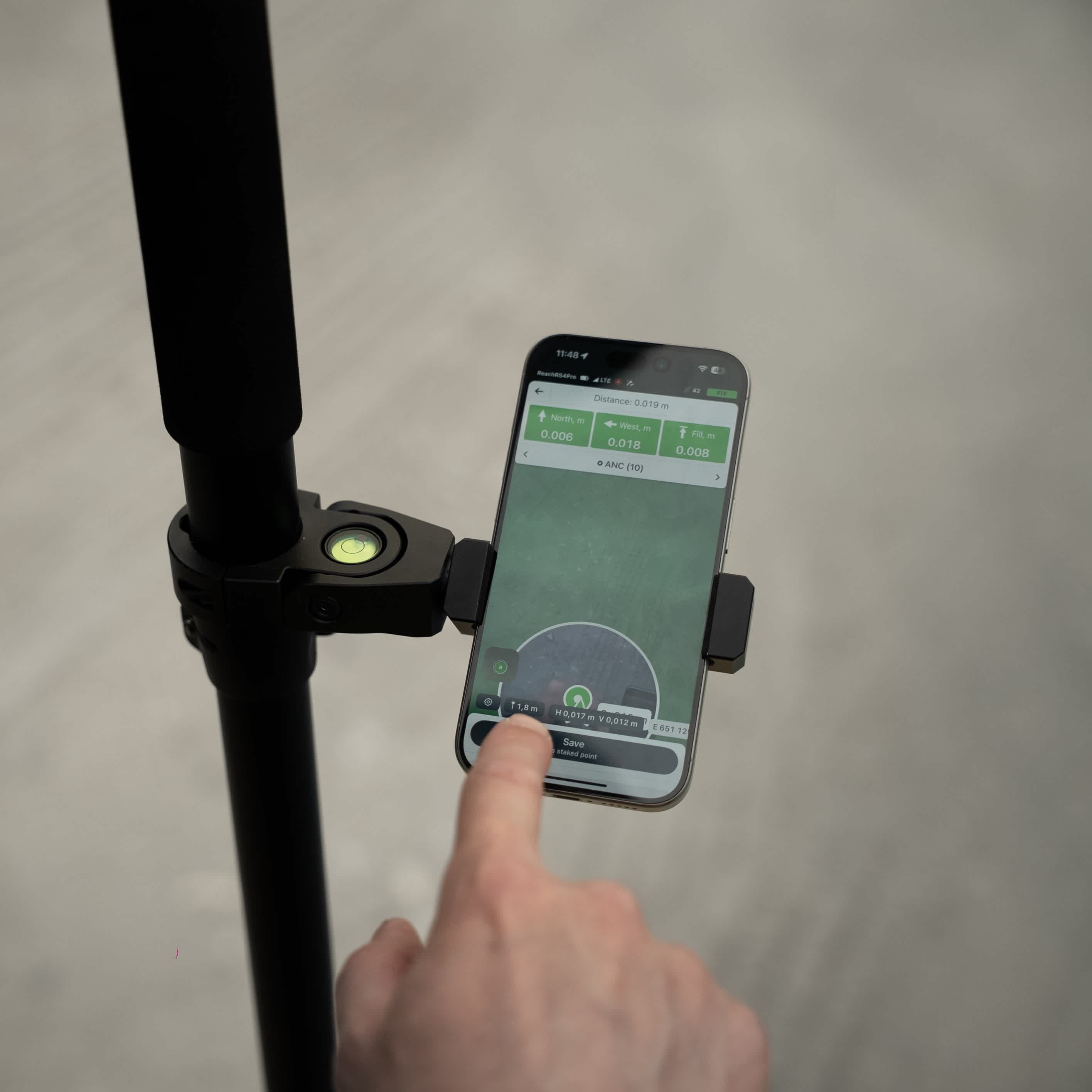
Emlid Flow and Emlid Flow 360
Free vs paid-for plans
Emlid Flow and Emlid Flow 360 offer two plans: A free plan (for simple projects) and a paid-for plan (Survey - for advanced surveying).
Emlid Flow (Free) | Emlid Flow (Survey) | Emlid Flow 360 (Free) | Emlid Flow 360 (Survey) |
|---|---|---|---|
Full control of Reach receivers | Everything from Free version. | Project management and auto sync | Everything from Free version. |
Built-in NTRIP client | Localisation | Export and import survey data | Upload code libraries |
Raw data logging | Linework | Satellite map | |
NMEA position output | CAD drawings | WMS/WMTS layers | |
Project management and sync | Survey codes | Inverse & Traverse | |
Point collection and stakeout | Inverse & Traverse | Stakeout reports | |
Coordinate system library | Satellite map | ||
Base shift | WMS/WMTS layers | ||
Collect rules | Auto collect | ||
Export and import to CSV, DXF, SHP, KML | Surfaces | ||
Stakeout reports |
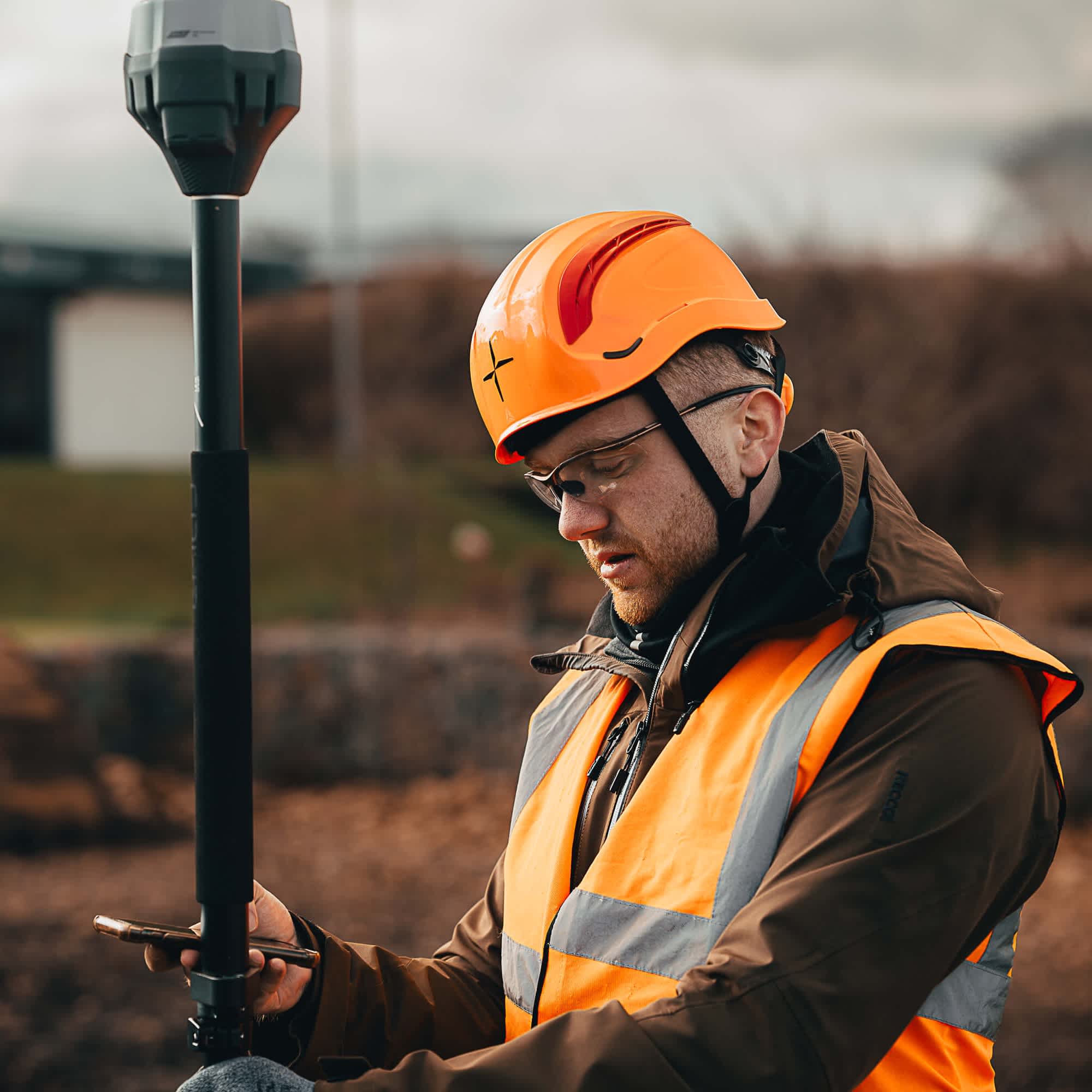
Why choose Emlid GNSS from heliguy™?
End-to-end support
heliguy™ has a dedicated surveying department and supplies Emlid GNSS solutions with support, workflow advice, training, and integration guidance.
heliguy™ ensures every Emlid solution is backed by knowledgeable technical support and real-world surveying experience.
Leverage the support of a team that was selected to present a keynote speech at Emlid's global partner conference.
As an Emlid supplier, with GIS expertise and an established drone capability, heliguy™ is well-positioned to support your adoption of Emlid's hardware and software solutions, connecting field data to office deliverables.
