Handheld Portable Scanners
Rapid mobile mapping for precise point clouds and reality capture
Go anywhere laser scanning
Precise 3D Data Collection - Simplified
Advanced Mobile Mapping
Survey complex environments with precise geospatial data using SLAM-powered mobile mapping.
Reality Capture
Harness the power of 3DGS to capture real spaces as photorealistic, interactive 3D worlds.
Transform Your Applications
XGRIDS elevates AEC, urban planning, film, real estate, geospatial, and utility workflows.
Handheld Laser Scanners For Portable And Precise 3D Data Capture
Advanced scanning capabilities in the palm of your hand
Revolutionise 3D data capture and create ultra-realistic models - including highly-detailed Gaussian Splats (3DGS) - with portable handheld laser scanners.
Gather detailed spatial information and effortlessly digitise real-world objects with accuracy and speed using a handheld 3D laser scanner.
Advanced SLAM algorithms empower mobile mapping and facilitate data collection in complex environments with any hand scanner.
Deploy these compact scanners across a breadth of industries, including engineering, architecture, archaeology, real estate, smart cities, and for topographical mapping.
heliguy™ has a product ecosystem of cutting-edge handheld 3D scanners from XGRIDS and offers end-to-end support to facilitate your mapping workflows, including data-processing support.

XGRIDS: Next-gen Handheld 3D Scanners
Ground-breaking content creation
Unlock the potential of 3D data and benefit from realistic environment reconstruction with handheld 3D laser scanners & handheld lidar scanner solutions from XGRIDS – a leading provider of 3D intelligent technology, including photorealistic Gaussian Splatting (3DGS).
End-to-end Workflows: Pair XGRIDS' compact handheld 3D scanners with a complementary software suite.
Lixel CyberColor: Ground-breaking advancement in 3D content generation, based on multi-SLAM and 3DGS technology. Create lifelike and ultra-realistic large-scale models and digital twins and benefit from immersive experiences through VR interaction.
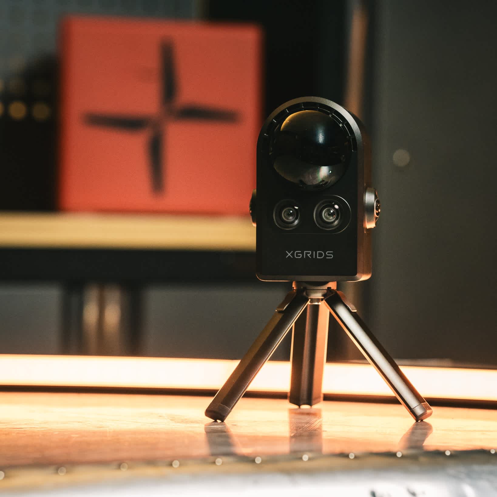
Handheld Scanners: Pro-level handheld scanners, the Lixel L2 Pro and Lixel K1 utilise multi-sensor data fusion - including laser and vision - to provide cm-accuracy, real-time scanning and modelling, and instant true colour point cloud generation, plus 3DGS. Or, deploy the XGRIDS PortalCam for ultra-high-quality 3DGS generation.
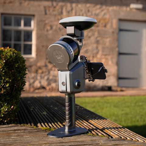
Drone-mounted: The XGRIDS Lixel L2 Pro can be drone-mounted - as well as vehicle-mounted - for more versatile data collection.

Create Immersive 3DGS Environments
XGRIDS scanners for reality capture
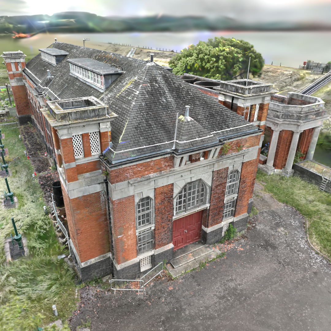
XGRIDS creates reality capture models through Gaussian Splatting - generating immersive 3D representations of real-world environments.
Benefits of XGRIDS 3DGS include:
Real-time, photorealistic rendering: Stunning cinematic visuals. Higher fidelity than point clouds, Smooth lighting, depth, realism - instantly.
Fast & simple workflow: Skip complex geometry processing. Quicker turnaround with less cleanup.
Lightweight & web-ready: Compact files, easy to share. View in-browser, VR, or mobile.
Handles massive scenes - seamlessly: Capture and render expansive environments without sacrificing performance or quality.
Capture Anywhere, Any Way: Whether by drone, handheld, or both—3DGS adapts. Perfect for interiors, exteriors, or complex hybrid spaces. XGRIDS can fuse drone and handheld scanner data together for comprehensive modelling.

Mobile Mapping With SLAM-based Solutions
Facilitating go-anywhere surveying
The heliguy™ ecosystem of XGRIDS handheld 3D laser scanners utilises SLAM technology.
SLAM (Simultaneous Localisation and Mapping) is an innovative method of on-the-go mapping, allowing a hand scanner to obtain positional data while simultaneously constructing a map.
It does not require GPS and is a highly mobile mapping technique, meaning there is no need to remain static while scanning.
This enables surveyors to map an unknown environment as they go - making it 10x faster than alternative methods.

Supported by industry leading solutions
Our equipment, expertise, and support will ensure success for your undertaking
Frequently Asked Questions
What are the advantages of using a handheld 3D scanner over stationary or tripod-mounted scanners?

Are handheld 3D scanners easy to use for someone without prior experience?

What level of accuracy can be achieved with handheld 3D scanners?

Can handheld 3D scanners be used for both indoor and outdoor scanning?


