News
DJI Launch Mavic 3 Enterprise and Mavic 3 Thermal
DJI has launched the Mavic 3 Enterprise and Mavic 3 Thermal. Both platforms are a new generation of portable and compact enterprise drones. The Mavic 3E is engineered for precision drone surveying, while the Mavic 3T is especially suited to ... Read More

DJI launches Mavic 3 Enterprise and Mavic 3 Thermal drones;
The Mavic 3 Enterprise is a high-precision surveying and inspection drone, while the Mavic 3 Thermal is designed for public safety, search and rescue and inspection;
Mavic 3 Enterprise has Hasselblad sensor and tele camera; Mavic 3 Thermal has wide and tele cameras, plus thermal sensor;
Mavic 3 Enterprise is optimised for GCP-free, centimetre accuracy. Its price, size and portability make it an ideal entry-level aircraft for drone mapping;
Both drones are lightweight, foldable and portable, have a flight time of 45 minutes, are compatible with the new DJI RC Pro Enterprise smart controller, and can be used with DJI FlightHub 2.
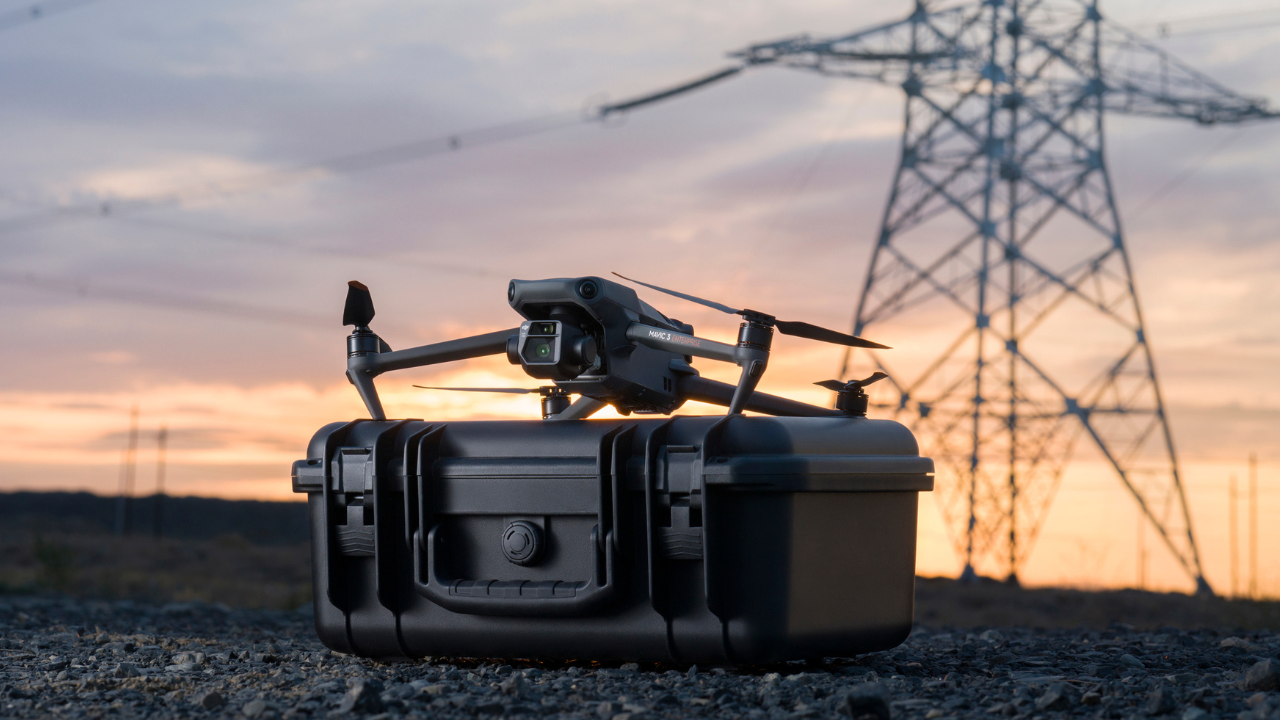
DJI has unveiled the DJI Mavic 3 Enterprise and Mavic 3 Thermal drones.

The Mavic 3 Enterprise is a new generation of portable surveying and inspection drone, with high-performance camera and capable of achieving GCP-free, centimetre accuracy.
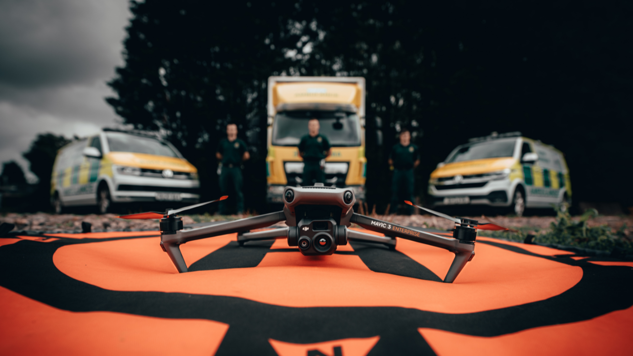
The Mavic 3 Thermal combines a high-resolution infrared sensor with a visual camera to offer an effective solution for public safety, search and rescue, and inspection.
Lightweight (M3E is 915g/M3T is 920g) and foldable, both drones benefit from 45 minutes of flight time, advanced safety features - including omnidirectional object sensing - and O3 Enterprise transmission.
The drones can integrate with a range of accessories, including RTK Module and loud speaker, and are compatible with DJI FlightHub 2, DJI Terra, Pilot 2 app and the new DJI RC Pro Enterprise smart controller.
DJI Mavic 3 Enterprise and Mavic 3 Thermal: Camera Specifications
The DJI Mavic 3 Enterprise and Mavic 3 Thermal have powerful imaging capabilities.
Optimised for surveying, the Mavic 3E has a Hasselblad camera and a tele camera, while the M3T has a wide camera, tele camera and a thermal sensor.
The table below shows the drones' camera specifications.
Mavic 3 Enterprise | Mavic 3 Thermal | |
Wide Camera | 4/3 CMOS; 20MP; Equivalent Focal Length: 24mm | 1/2-inch CMOS; 48MP: Equivalent Focal Length: 24mm |
Tele Camera | 1/2-inch CMOS; 12MP; Equivalent Focal Length: 162mm: 56x hybrid zoom | 1/2 inch CMOS; 12MP; Equivalent Focal Length: 162mm; 56x hybrid zoom |
Thermal Sensor | - | 640 x 512 @ 30Hz 61° Display Field Of View |
DJI Mavic 3 Enterprise: High-accuracy Drone Surveying
The DJI Mavic 3 Enterprise is an efficient and accurate survey drone.

Its camera specifications are optimised for drone mapping, including:
Quality Hasselblad sensor.
Rapid 0.7 second interval shooting.
Mechanical Shutter: Avoid jelly effect when moving at high speeds.
Large Pixel Size: 3.3um.
Intelligent Low-Light Mode for improved performance in dim conditions.
The aircraft's short shooting interval, large pixel size and 45 minutes (42 minutes with RTK Module) of maximum flight time improves surveying efficiency. For instance, the drone can cover 16 square kilometres in one day's work (2D mapping, flight altitude: 150m, 80% front overlap, 70% side overlap, 15m/s flight speed).
Integrate the Mavic 3 Enterprise with its dedicated RTK Module to support TimeSync to enable GCP-free, centimetre-level accuracy.
DJI says that Smart Features, such as Real-time terrain following, and Smart Oblique Capture - a feature on the P1 photogrammetry camera whereby the gimbal automatically rotates to take photos at three different angles - will come at the end of the year.
The Mavic 3 Enterprise is a quality surveying drone, and is especially suited for entry-level drone surveyors, or for those who want a more cost-effective solution compared to the M300 RTK-P1 set-up.
Its size and price make the Mavic 3 Enterprise similar to the DJI Phantom 4 RTK - but the Mavic 3E has some enhanced features to make it more portable and more efficient. Find out more in our in-depth blog comparing the M3E and P4 RTK.
DJI Mavic 3 Enterprise and Mavic 3 Thermal: Enhanced Safety
The DJI Mavic 3 Enterprise and Mavic 3 Thermal benefit from enhanced safety features.

These include:
Omnidirectional Obstacle Sensing: Multiple wide-angle vision sensors work seamlessly with a high-performance vision computing engine to sense obstacles in all directions precisely and plan a safe flight route that avoids them.
APAS 5.0: When flying, the drone continually senses objects in all directions and bypasses them quickly and smoothly.
Advanced RTH: Automatically determines the optimal route back to the home point and executes it quickly.
On top of this, the drones have a built-in flight beacon and utilise O3 Enterprise transmission for a strong and stable connection. The maximum transmission distance is 8km (CE).
DJI Mavic 3 Enterprise and Mavic 3 Thermal: Controller
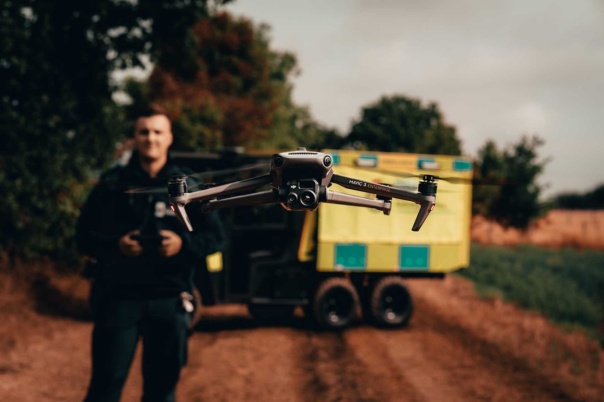
Fly the Mavic 3 Enterprise and Mavic 3 Thermal with the new DJI RC Pro Enterprise controller.

The RC has an upgraded CPU and GPU to ensure the system runs more stably and smoothly. Its key features include:
5.5-inch touchscreen display
1,000-nit high0brightness screen
3 hours of battery life
Fully charged in 1½ hours
The controller does not have an external battery, only an internal one.
Both drones use DJI Pilot 2 and are compatible with route planning features within the app, such as waypoint, mapping, and linear.
DJI Mavic 3 Enterprise and Mavic 3 Thermal: Accessories
The Mavic 3 Enterprise and Mavic 3 Thermal are compatible with a range of accessories, including an RTK module and loud speaker which supports real-time speech.

The RTK module enables the Mavic 3E to conduct highly-accurate, centimetre-level surveying accuracy. When used with the M3T, the RTK Module improves the drone's georeferencing accuracy, but within 10cm to 20cm. It means that the Mavic 3T can be used for inspection surveying and/or thermal mapping, but when high-precision surveying is required, the Mavic 3E is the better option.
DJI Mavic 3 Enterprise and Mavic 3 Thermal: DJI FlightHub 2 and DJI Terra
The Mavic 3 Enterprise and Mavic 3 Thermal are compatible with DJI FlightHub 2 and DJI Terra.
DJI FlightHub 2
DJI FlightHub 2 is an all-in-one cloud-based drone operations management platform that helps operators achieve comprehensive, real-time situational awareness.
DJI Terra
DJI Terra is an easy-to-use mapping software developed to help industry professionals transform real-world scenarios into digital assets to build maps and models and conduct analysis.
DJI is gifting a free three month DJI Terra Electricity Edition licence with the Mavic 3 Enterprise and Mavic 3 Thermal.
The free licence will be automatically activated when the drone is activated.
You can find out more about DJI Terra, here.
DJI Mavic 3 Enterprise and Mavic 3 Thermal: Summary
The DJI Mavic 3 Enterprise and Mavic 3 Thermal are powerful portable drones which can play an important role in a commercial UAS programme.
The M3E provides a compact surveying solution which is an upgrade from DJI's other lightweight mapping aircraft, the Phantom 4 RTK. Its price point and small frame make it an ideal entry-level surveying drone, as well as being an extremely mobile option for rapid mapping missions.

The M3T can be seen as the next generation of the Mavic 2 Enterprise Series, and its quickly deployable and easily transportable nature - coupled with multi-sensor array, including thermal capabilities - make it an ideal option for public safety and search and rescue.
Contact heliguy™ to discuss the DJI M3E and M3T and find out how heliguy™ can help you start or scale your drone programme with these new drones from DJI.
