
Technical
Cloud-Based Software vs Local Desktop Processing for Drone Surveying
Comparison guide between cloud-based software and local desktop processing for drone survey data. Find out which is best for your operations and learn about the industry-leading software solutions for drone mapping. ... Read More

Comparison guide between cloud-based software and local desktop processing for drone survey data;
Cloud software refers to applications or software solutions that are hosted and delivered over the internet, accessed remotely on servers maintained by a third-party cloud service provider;
Desktop software refers to applications or programmes that are installed and run directly on a personal computer or a local server;
Advantages of cloud software include its accessibility; ability to empower remote working/collaboration; and updates are managed by the host;
Desktop software can result in faster performance and response times compared to cloud-based applications; and can be accessed and used without an internet connection;
Guide to the best software (cloud-based and desktop) for drone surveying and operations.
Whether it is assessing the condition of a powerline, measuring a stockpile, or building a digital terrain model - data is at the heart of every drone programme.
But these days, simply collecting the information is not enough. Knowing how to access, process, analyse and share the data is crucial to maximising drone outputs.
Therefore, choosing the right software becomes a key decision - especially the decision between cloud-based software or local desktop processing.
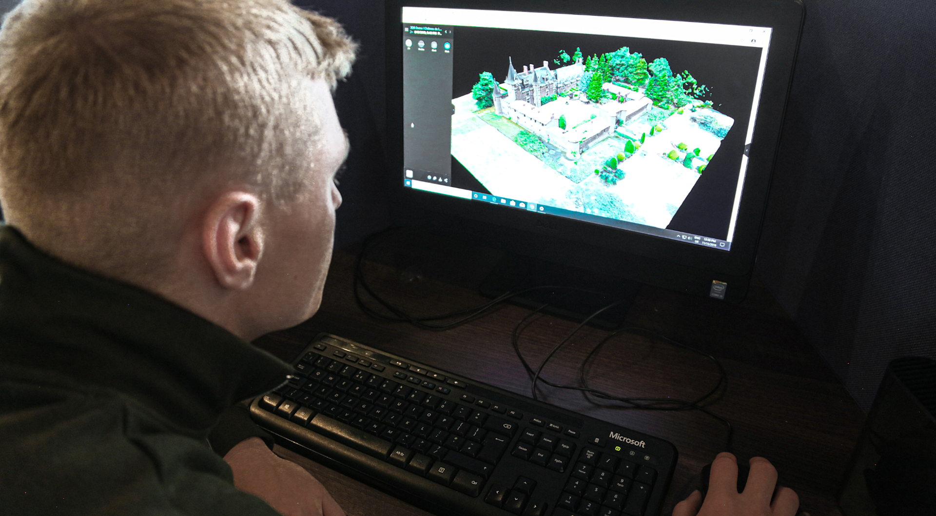
And knowing the difference between these two types of platforms, and understanding their limitations and capabilities for the task at hand, will help you assess how they will affect your workflows and your team members.
This blog will highlight the advantages and disadvantages of using cloud-based or local desktop processing, and list some of the best software for drone data.
Cloud-based Software Vs Local Desktop Processing: What Are They?
Firstly, let's explain what cloud-based software and local desktop processing are to help highlight the differences between them.
What is Cloud-based Software?
Cloud-based software, also known as Software-as-a-Service (SaaS), refers to applications or software solutions that are hosted and delivered over the internet.
Instead of being installed directly on a user's computer or local server, the software and its associated data are stored and accessed remotely on servers maintained by a third-party cloud service provider.
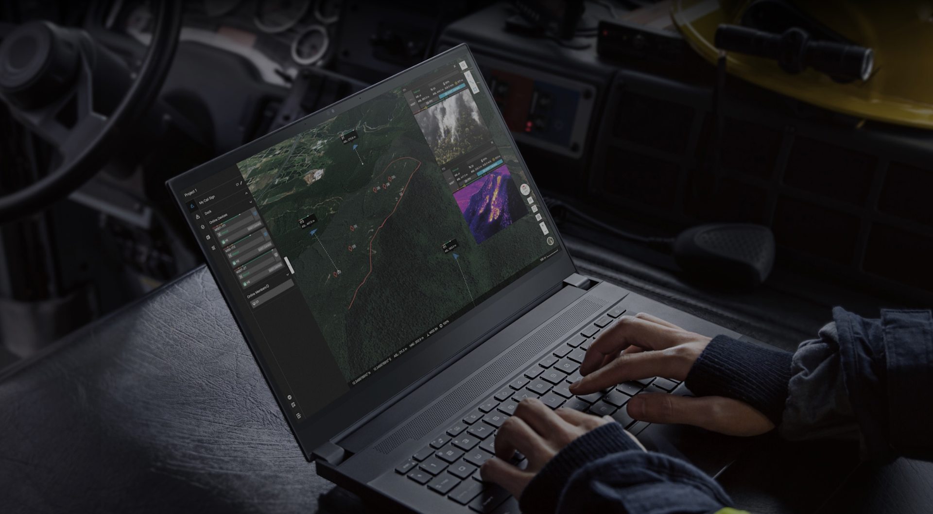
The software is accessed through a web browser or a dedicated client application that connects to the provider's servers.
What Is Local Desktop Software?
Desktop software refers to applications or programmes that are installed and run directly on a personal computer or a local server.
It is designed to be used on a specific operating system (such as Windows, macOS, or Linux) and typically requires installation on the computer's hard drive.
Desktop software provides functionality and features tailored to specific tasks or user needs.
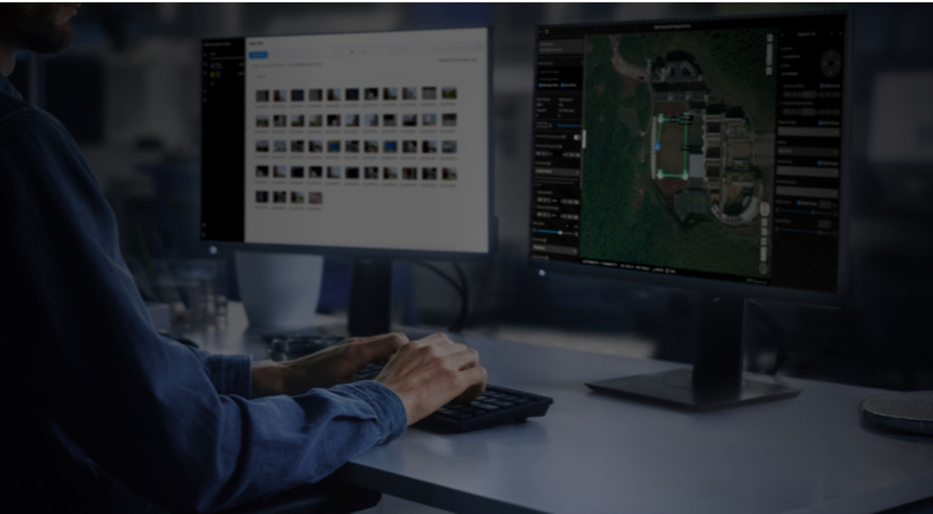
Once installed, desktop software runs locally on the computer, utilising its processing power and storage resources. It may require periodic updates or patches, which are typically downloaded and installed manually.
What Are The Key Differences Between Cloud-based Software And Local Desktop Processing
Desktop software and cloud software differ in several key aspects. Here are the primary differences between the two:
Cloud-Based | Desktop Processing | |
Installation/Deployment | Does not require installation on individual device. Accessed through a web browser or a dedicated client application, with the software and data hosted on remote servers. Users access the software via the internet without the need for installation or updates on their local devices. | Requires installation on individual computers or local servers. Users need to download and install the software directly onto their devices. Updates and maintenance typically require manual installation or patching. |
Accessibility/Collaboration | Cloud software is accessed over the internet, allowing users to access it from any device with an internet connection. It enables seamless collaboration among users, as multiple users can work on the same data simultaneously. Real-time updates and collaboration features are often built-in, facilitating teamwork and remote work. | Desktop software is typically installed and operates locally on a specific device. It may not be readily accessible from other devices unless manually installed on each device or accessed through network sharing. Collaboration features may be limited, and real-time collaboration may require additional tools or configurations. |
Data Storage/Security | Data for cloud software is stored on remote servers managed by the cloud service provider. The provider is responsible for data storage, backup, and security. Cloud service providers typically employ robust security measures, including encryption, access controls, and data redundancy to ensure data protection. | Data for desktop software is stored locally on the user's computer or local server. Users have direct control over their data storage and security measures, but they are responsible for implementing backup systems and security protocols. |
Scalability | Cloud software offers scalability, allowing users to easily scale up or down their resources based on their needs. Cloud service providers offer flexible resource allocation, accommodating changes in user count, storage requirements, and processing power. Users can leverage the provider's infrastructure for improved performance and scalability. | Desktop software relies on the computing resources available on the local device or server. Scaling up resources may require hardware upgrades or additional installations. The software's performance is dependent on the device's capabilities. |
Pros And Cons
The above table highlights the differences between cloud-based software and local desktop processing.
With this in mind, what are the pros and cons of each type of method? The table below highlights some of the advantages and disadvantages of integrating these solutions into your workflows.
Cloud-based Software
Pros | Cons |
Accessibility: Accessed from anywhere with an internet connection, allowing users to work remotely or collaborate with team members regardless of their physical location. | Internet Dependence: Heavily relies on internet connectivity. Without a stable and fast internet connection, users may experience difficulties accessing or using the software and data. Offline access can be limited or require additional measures. |
Scalability: Businesses can easily adjust their subscription or usage based on their evolving needs. It can accommodate changes in user count, storage requirements, or processing power without the need for significant hardware upgrades. | Data Security and Privacy: Storing data in the cloud raises concerns about security and privacy. While cloud service providers invest heavily in security measures, there is still a risk of data breaches or unauthorised access. Organisations with strict data security requirements may prefer to keep sensitive data on local servers. |
Maintenance and Updates: The service provider takes care of infrastructure management, security patches, and software updates. Users can benefit from the latest features and improvements without having to manage or install updates manually. | Data Transfer and Compliance: Uploading and transferring large datasets to the cloud can be time-consuming, particularly if the internet connection is slow. Additionally, certain industries or regions may have specific compliance requirements that need to be considered when using cloud services. |
Collaboration and Real-Time Updates: Cloud-based software enables seamless collaboration and real-time updates. Multiple users can access and work on the same data simultaneously, fostering teamwork, version control, and efficient project management. | Vendor Reliance: Dependent on the service provider's infrastructure and reliability. If the service provider experiences downtime or disruptions, it can impact user access and productivity. It is essential to choose a reputable and reliable provider. |
Desktop Processing
Pros | Cons |
Performance: Desktop software typically runs directly on the computer's hardware, leveraging its processing power. This can result in faster performance and response times compared to web-based or cloud-based applications. | Installation and Updates: Desktop software requires installation on each computer or server where it will be used. This can be time-consuming, particularly in larger organisations or when deploying software across multiple devices. |
Offline Access: Desktop software can be accessed and used without an internet connection, making it ideal for situations where connectivity is limited or unreliable. | Maintenance: Desktop software typically requires manual maintenance, including updates, patches, and bug fixes. Users are responsible for ensuring they have the latest version and managing software upgrades. |
Data Control and Security: With desktop software, your data remains stored locally on your computer or server, giving you direct control over its security and access. This can be important for sensitive or confidential information. | Limited Accessibility: Unlike web-based or cloud-based software, desktop software is typically limited to the device on which it is installed. Accessing the software or data from other devices may require additional steps, such as remote desktop connections or file sharing. |
Customisation: Desktop software often provides greater flexibility for customisation, allowing users to tailor the software to their specific needs, preferences, or workflows. | Hardware Dependencies: Desktop software may have specific hardware requirements, such as processor speed, memory, or graphics capabilities. Older or less powerful computers may struggle to run resource-intensive desktop applications. |
Compatibility: Desktop software can be designed to integrate seamlessly with other locally installed applications, enabling efficient data exchange and workflow integration. | Collaboration Challenges: Collaborating on desktop software can be more challenging compared to web-based alternatives. Sharing and syncing data among team members may require manual file transfers or version control measures. |
Cost: Desktop software can require a licensing fee per user. |
Drone Software: Cloud-based vs Local Desktop - Best Software Solutions For Drone Surveying
The above information highlights the differences and the pros and cons between cloud-based software and local desktop processing.
But once you've decided on a particular route, which solutions are best for your drone programme?
We'll provide an overview of some of the industry-leading cloud-based and local desktop solutions.
Best Cloud-based Software For Drone Survey Data
Drone Deploy
DroneDeploy is a powerful software solution.
It enables businesses to collect, manage, and interpret reality capture data from drones, 360 cameras, and mobile ground robots.
It includes scalable image processing, 360 virtual walkthroughs, data storage, real-time sharable drone maps and 3D models, drone pilot management, flight planning and drone live streaming.

DroneDeploy is also compatible with an ecosystem of third-party apps, including Procore, OneDrive, and Autodesk Construction Cloud, among others. This ecosystem also enables DroneDeploy to cater for a range of data, including thermal insights, crop health, and water analysis.
DroneDeploy is a particularly powerful solution for cloud photogrammetry.
Upload up to 10,000 images at once without specialised hardware or software;
Process hundreds of maps simultaneously across your organisation;
Generate precise 2D maps, 3D models, and 360 panoramas.
Drone Deploy has a pricing structure, with licences available for Teams and Individuals.
ESRI Site Scan for ArcGIS
Site Scan for ArcGIS is the end-to-end cloud-based drone mapping software designed to revolutionise imagery data collection, processing, and analysis.
Maintain a complete picture of your drone inventory and flight history with automatic fleet management.
Stay up-to-date with accurate imagery, using repeatable flight plans that ensure high-quality drone data capture.

Unlimited amounts of drone flight data are securely processed into 2D and 3D outputs through a scalable cloud environment. Easily visualise and analyse results directly in a web browser and share 2D/3D products throughout your organisation, on any device.
Save time by using the measurement and analysis tools to get the answers you need from your data.
Directly publish your drone data to your ArcGIS organisation to perform advanced drone analytics such as object detection and application of artificial intelligence.
Numerous pricing plans are available, with users able to develop a solution based on their needs by purchasing core software, additional apps, and extensions.
Best Local Desktop Software For Drone Survey Data
DJI Terra
DJI Terra is a 3D model reconstruction software that has photogrammetry as its core technology.
It supports a range of accurate and efficient 2D and 3D reconstructions of visible light, and data processing through DJI LiDAR.

DJI Terra is a perfect match for DJI Enterprise drones and payloads and allows operators to conduct real-time mapping and detailed inspection mission planning through automatic waypoint generation.
It works in conjunction to build a complete application solution that caters to verticals such as land surveying and mapping, power transmission, emergency services, construction, transportation, and agriculture.
Terra can be used in conjunction with other software platforms, such as Terrasolid.
It is available across multiple licence plans which offer varying functionality. The basic Agriculture licence can be bound across three devices, while Terra Pro and Electricity can be bound on one device. Cluster mode for cluster computation is bound on one device and three nodes.
Pix4Dmapper
Pix4Dmapper is a leading photogrammetry software for professional drone mapping.
Transform your images into survey-grade accurate and georeferenced orthomosaics, points clouds, 2D maps, and 3D models for analysis, inspections, and measurements.
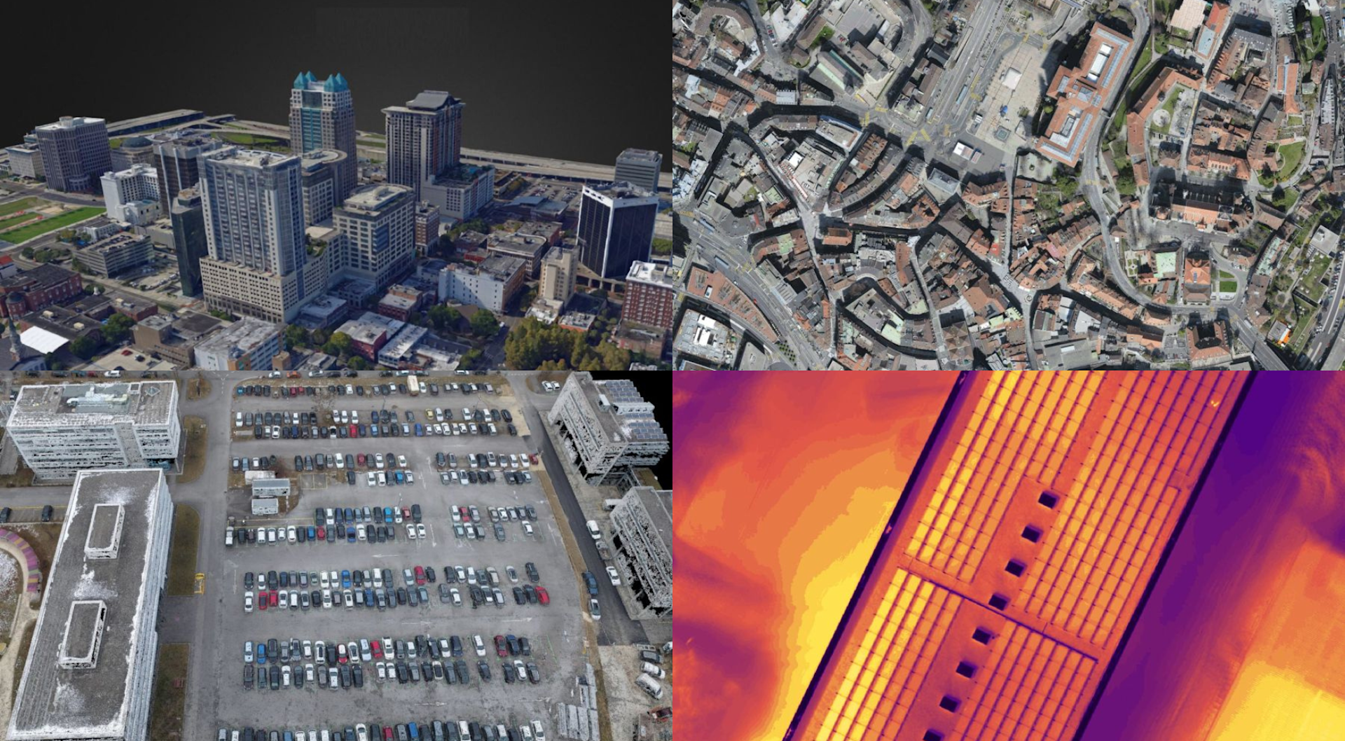
Highlights include:
Capture RGB, thermal, or multispectral images with any camera or drone and import them to Pix4Dmapper.
Pix4Dmapper's photogrammetry algorithms transform ground or aerial images into digital maps and 3D models. Process projects on a desktop using this photogrammetry software, or bundle with Pix4Dcloud for online processing.
Accurately measure distances, areas, and volumes.
Improve collaboration by securely sharing project data and insights with team members, clients and suppliers, using standard file formats.
Monthly or yearly subscriptions (including desktop application with floating license - use on up to 2 devices simultaneously), or a perpetual licence (including desktop application with floating license - 1 device), are available for Pix4Dmapper.
The Pix4D ecosystem features other desktop solutions, such as Pix4Dsurvey (for CAD-ready deliverables) and Pix4Dfields (for precision agriculture), as well as cloud-based options.
Summary: Cloud-Based Software vs Local Desktop Processing
Choosing between cloud-based software and local desktop processing for drone surveying depends on various factors, such as project size, data security requirements, connectivity, and collaboration needs.
Cloud-based solutions offer accessibility, scalability, and automated workflows, while local desktop processing provides control, customisation, and offline accessibility.
Assess your specific requirements, consider the advantages and considerations, and select the solution that aligns best with your organisation's goals and operational preferences. Remember, the right choice may vary based on the unique needs of each drone surveying project.
To discuss anything mentioned in this blog, and to speak to our in-house drone surveying team, contact us.
