Technical
DJI Terra Automatic 3D Block Alignment Workflow
<p>Find out how to conduct automatic 3D block alignment of drone survey data in DJI Terra. This workflow, introduced as part of a firmware update, minimises errors in the data set and eliminates distortion.</p> <p> </p> ... Read More
DJI Terra enables automatic 3D block alignment, following a firmware update;
This helps to minimise errors in the data set and eliminates distortion;
In-depth workflow guide to conducting automatic 3D block alignment in DJI Terra.
A new firmware update has introduced the functionality to conduct 3D block alignment in DJI Terra.
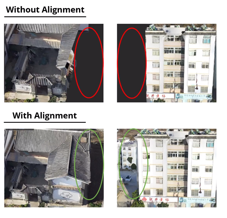
Block alignment in processing drone survey data ensures that the collected data is accurately referenced, integrated, and ready for further analysis and interpretation. It helps minimise errors, enhances the reliability of the survey results, and eliminates distortion, errors, or duplicate/missing data.
For instance, look at the comparison in these data sets with and without block alignment.
As such, DJI Terra now enables automatic 3D block alignment.
This blog explores the workflow to conduct automatic 3D block alignment in DJI Terra.
DJI Terra: Automatic 3D Block Alignment - Workflow
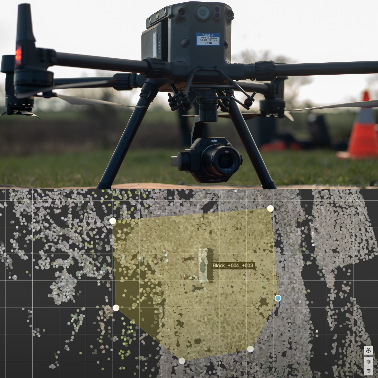
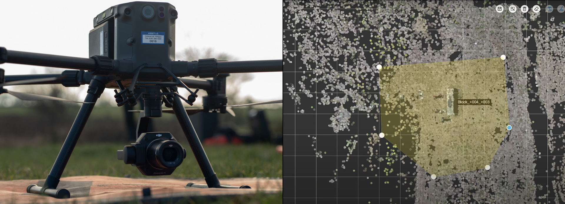
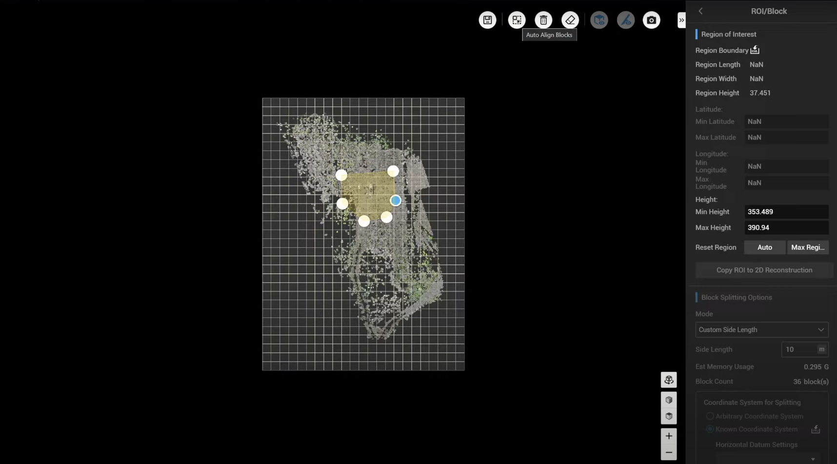
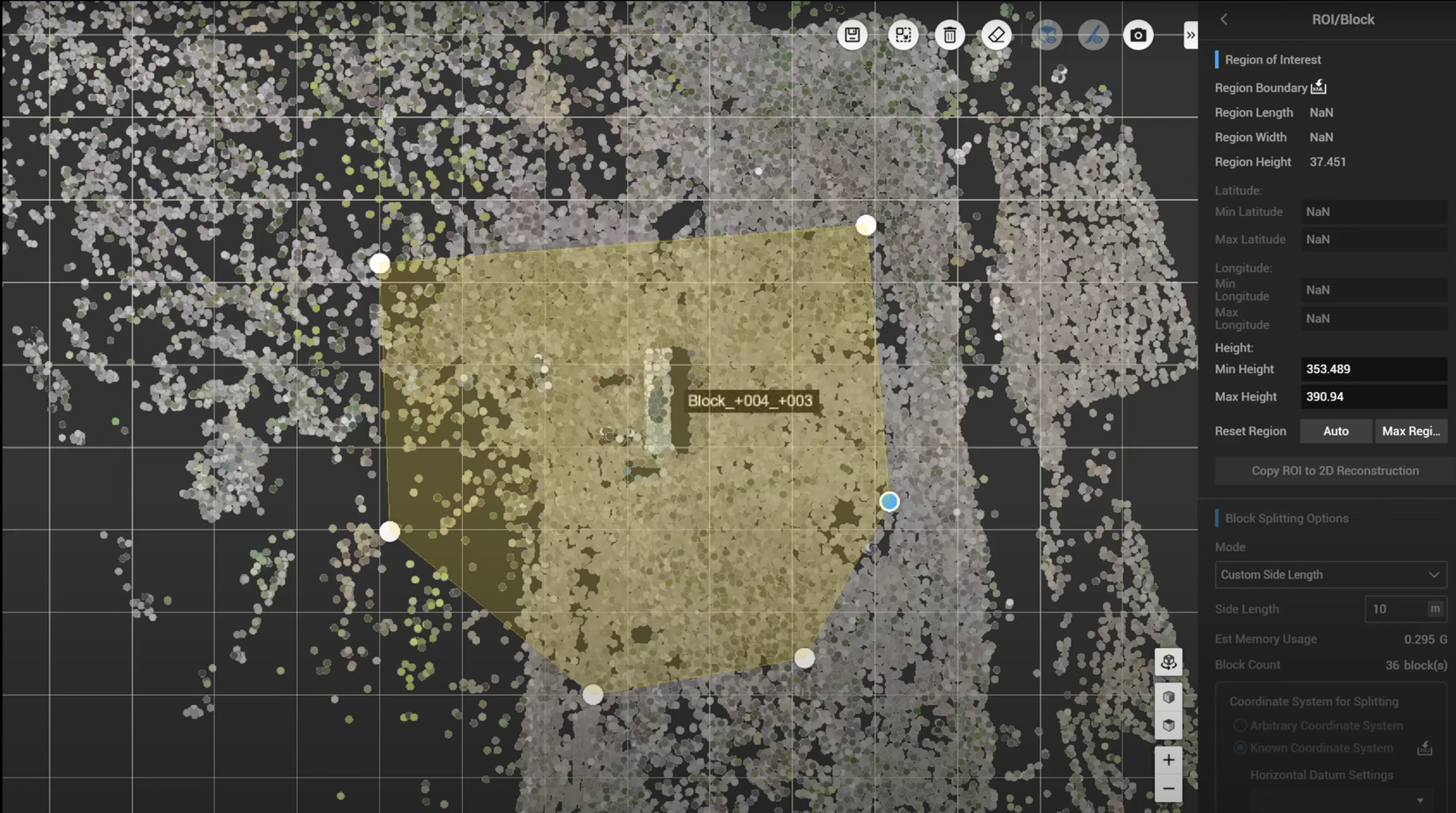
To conduct 3D block alignment in DJI Terra, click on the Region of Interest block and then assign the boundary by drawing a polygon around the region if interest.
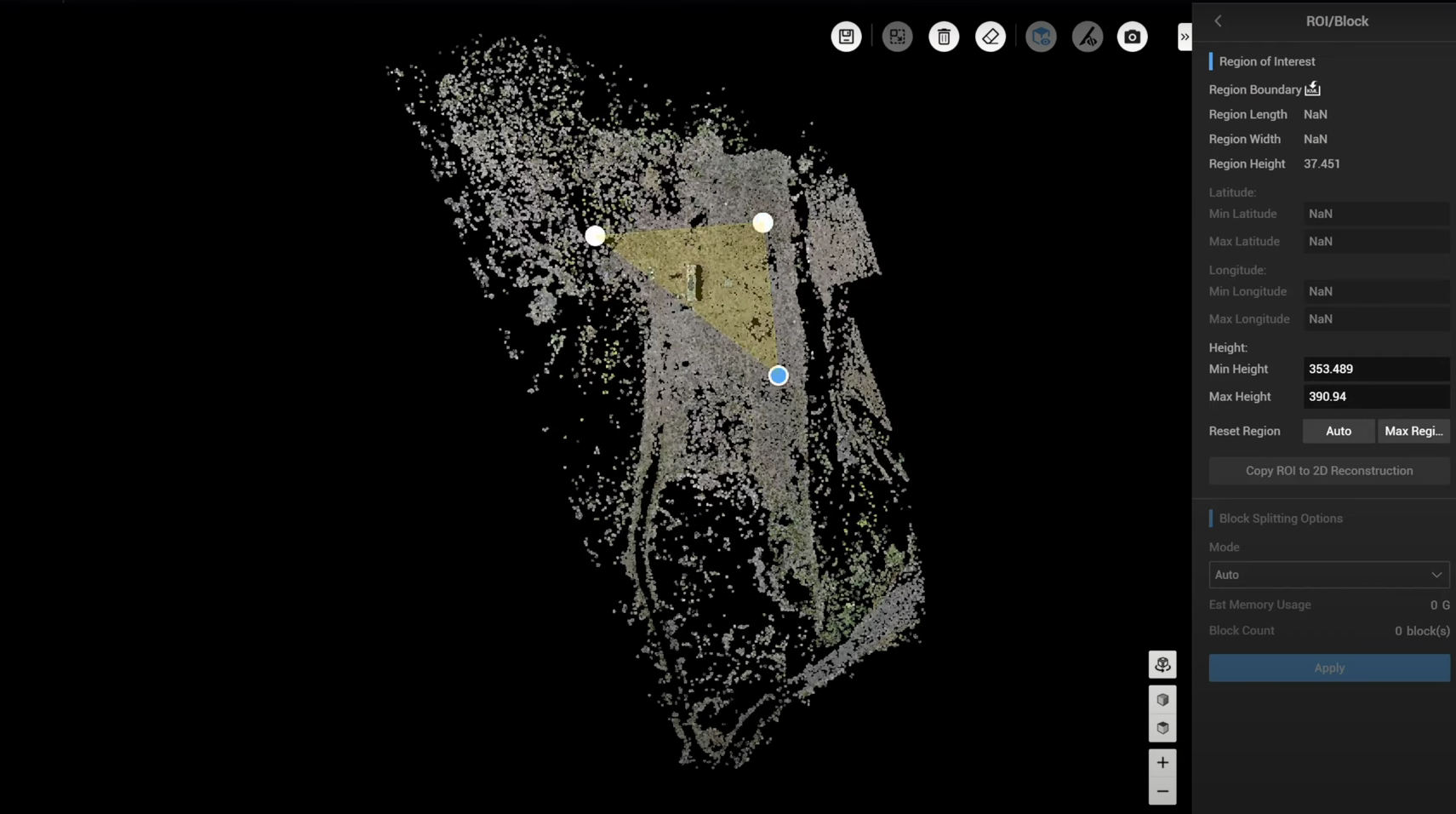
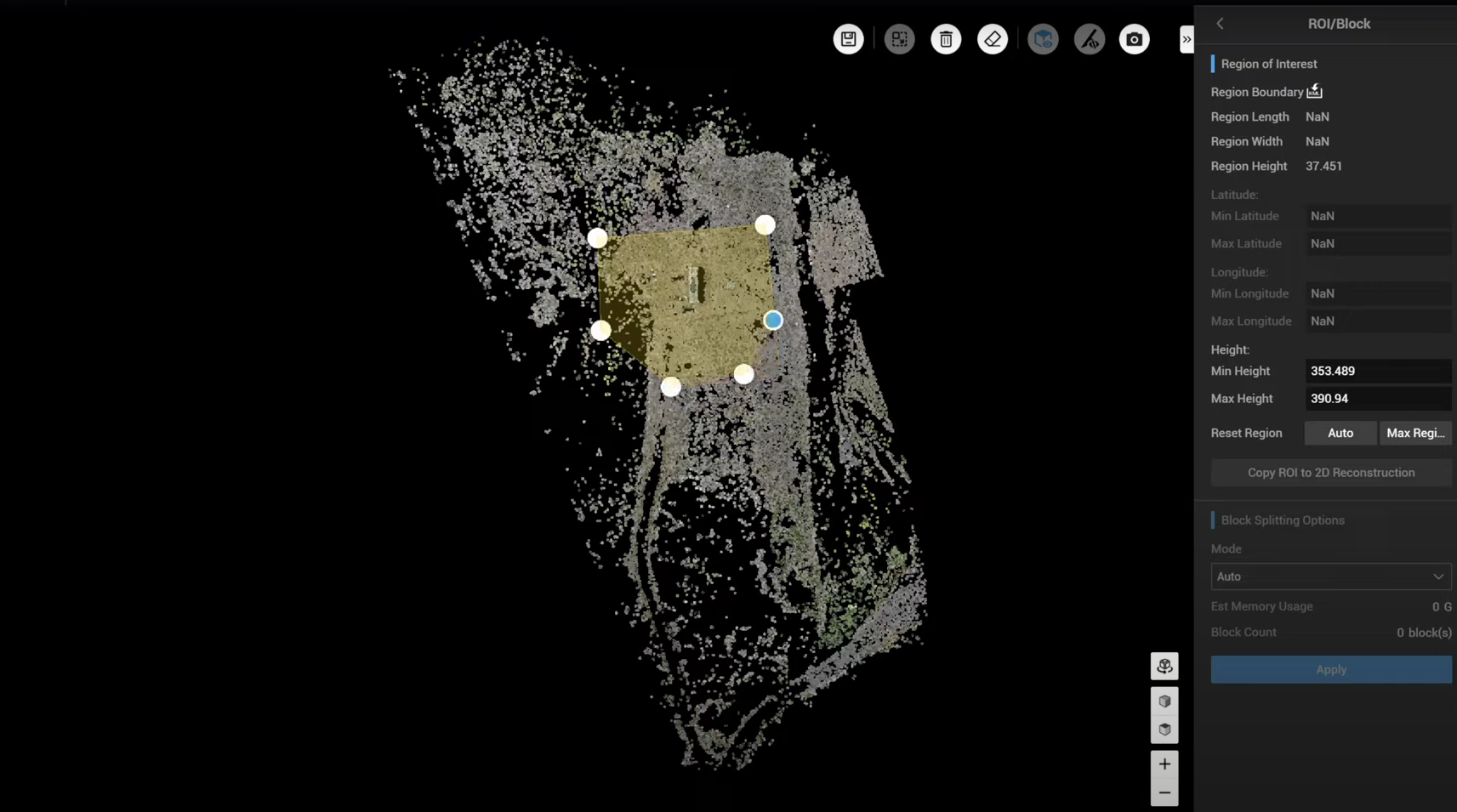
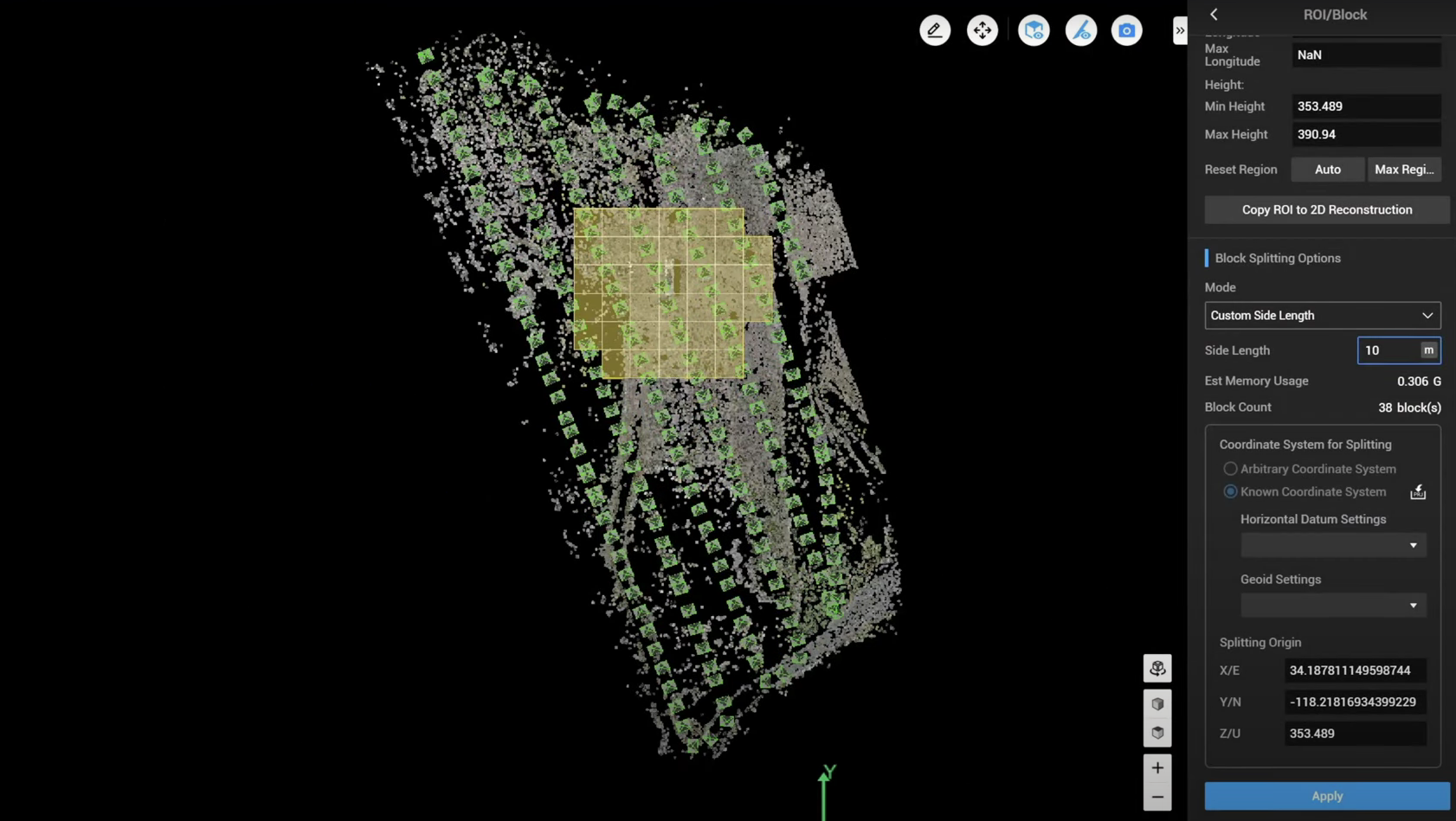
Then, save this area, and then, under the Block Splitting option select Custom Side Length...
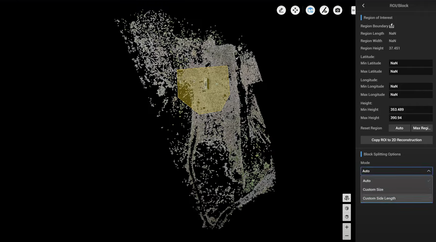
...and then define the site length of your block, which in this example, has been set to 10 metres.
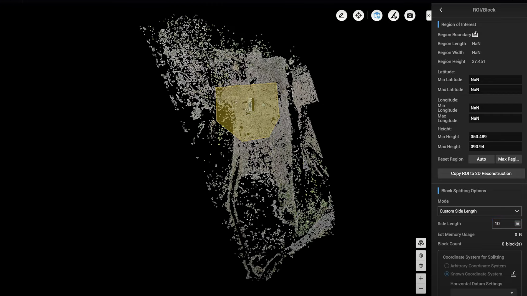
Then go to Editing mode, and then an option will pop up to auto align blocks.
By zooming in on the top view, you can see that Terra has automatically split the entire model into many different blocks.
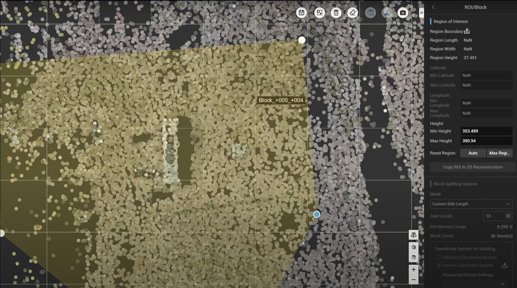
Each block represents 10 meters by 10 meters - based on the setting - but in the above example the drawn boundary does not cover enough region within a certain block. This can led to issues with subsequently aligning model files from different blocks.
However, using the new Auto Align Blocks function, Terra will automatically fill in the blocks for better alignment between different blocks and to ensure the alignment quality.
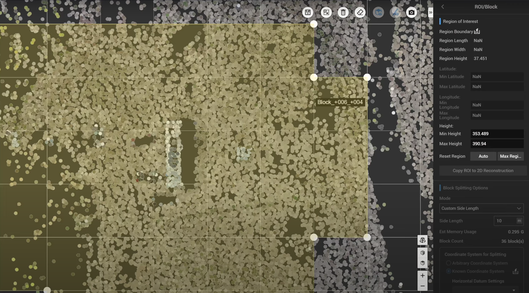
Using the zoomed out view, look how much more uniform the boundary is after conducting the Auto Alignment...
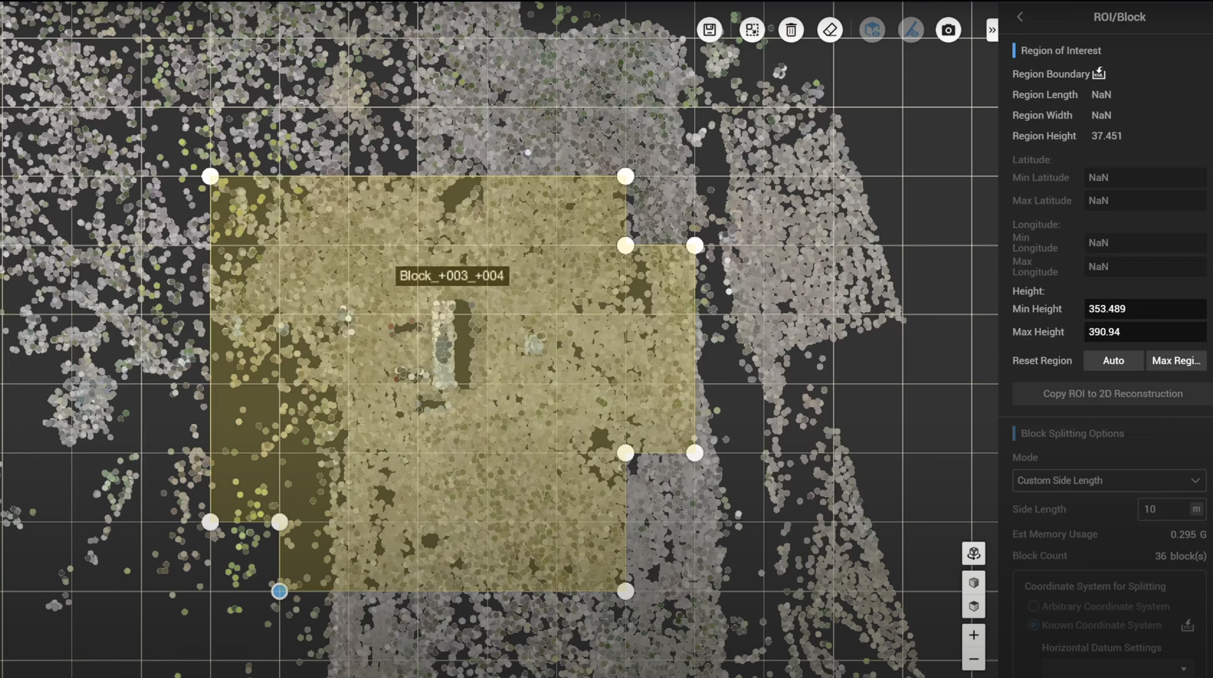
...compared to pre-alignment.
By doing this, each block has the same dimension and side length.
To properly align these blocks, make sure to have the same splitting origin as well as the coordinate system output.
Now, save the result, define the horizontal coordinate system and Geoid, set up the region of interest and block section. Then, go back to the custom model origin, define the model origin, and record this model origin.
It means that, if another replacement of certain blocks is required, you can simply apply the same model origin from the previous project.
